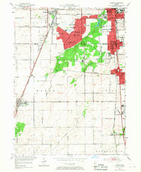
1953 Map of Steger
USGS Topo · Published 1967About this map
Park Forest and the expanding suburbs of southern Cook County dominate the landscape in this early 1950s study. The planned residential development of Park Forest is shown in detail, including its cluster of neighborhood schools such as Mohawk Sch and Dogwood Sch, organized around the newly built Rich High Sch. This era of growth is balanced by the persistence of established rail infrastructure, with the Illinois Central Highway and Chicago and Eastern Illinois railroad corridors providing the industrial and transit backbone for towns like Monee and Steger.
Find a feature on this map
58 named features on this map. Tap any name to fly to it.
Don’t see what you’re looking for? This feature index may not catch every label — zoom into the map to look around manually.
Map Details
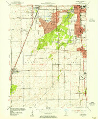
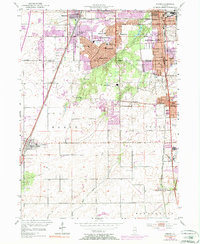
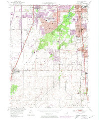
Editions of this 1953 Steger Map
4 editions found
Other maps of this area

1890 · Des Plaines
USGS Topo · 1:62,500

1892 · Calumet
USGS Topo · 1:62,500

1893 · Calumet
USGS Topo · 1:62,500

1894 · Des Plaines
USGS Topo · 1:62,500

1900 · Des Plaines
USGS Topo · 1:62,500

1900 · Calumet
USGS Topo · 1:62,500

1901 · Calumet
USGS Topo · 1:62,500

1901 · Des Plaines
USGS Topo · 1:62,500

1929 · Tinley Park
USGS Topo · 1:24,000

1929 · Calumet City
USGS Topo · 1:24,000