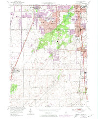
1953 Map of Steger
USGS Topo · Published 1974About this map
Chicago Heights and the burgeoning suburban landscape of the early 1950s anchor this detailed study of the Cook and Will County border. The map reveals the planned expansion of Park Forest, noted for its distinctive street patterns and numerous educational institutions like Mohawk Sch and Sauk Trail Sch. This era of growth is juxtaposed with the natural preservation of the Sauk Trail Woods and the agricultural reaches of Monee and Crete townships.
Find a feature on this map
64 named features on this map. Tap any name to fly to it.
Don’t see what you’re looking for? This feature index may not catch every label — zoom into the map to look around manually.
Map Details
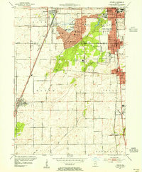
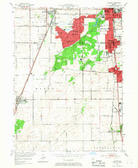
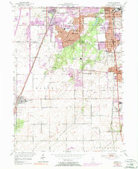
Editions of this 1953 Steger Map
4 editions found
Other maps of this area

1890 · Des Plaines
USGS Topo · 1:62,500

1892 · Calumet
USGS Topo · 1:62,500

1893 · Calumet
USGS Topo · 1:62,500

1894 · Des Plaines
USGS Topo · 1:62,500

1900 · Des Plaines
USGS Topo · 1:62,500

1900 · Calumet
USGS Topo · 1:62,500

1901 · Calumet
USGS Topo · 1:62,500

1901 · Des Plaines
USGS Topo · 1:62,500

1929 · Tinley Park
USGS Topo · 1:24,000

1929 · Calumet City
USGS Topo · 1:24,000