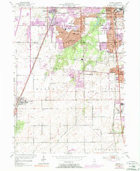
1953 Map of Steger
USGS Topo · Published 1974About this map
Park Forest and the surrounding Chicago suburbs show a landscape in transition on the border of Cook and Will counties. The development of post-war housing is centered around schools such as Lakewood Sch and Mohawk Sch, while the historic Sauk Trail cuts east-to-west through the heart of South Chicago Heights. This era reflects a complex intersection of transportation, with heavy rail lines like the Illinois Central Gulf and Elgin Joliet and Eastern serving the industrial corridor. South of Steger and Crete, the terrain opens into rural townships where Black Walnut Creek and Walnut Creek drain agricultural lands. Smaller landmarks like Sanger Landing Field and Wings Field reflect the regional aviation of the mid-20th century, while numerous cemeteries like Evergreen Hill Cem and Zion Cem provide critical touchpoints for local genealogy.
Find a feature on this map
61 named features on this map. Tap any name to fly to it.
Don’t see what you’re looking for? This feature index may not catch every label — zoom into the map to look around manually.
Map Details
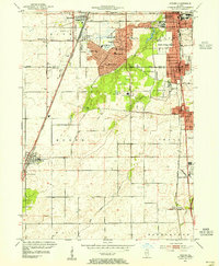
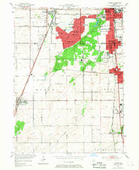
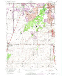
Editions of this 1953 Steger Map
4 editions found
Other maps of this area

1890 · Des Plaines
USGS Topo · 1:62,500

1892 · Calumet
USGS Topo · 1:62,500

1893 · Calumet
USGS Topo · 1:62,500

1894 · Des Plaines
USGS Topo · 1:62,500

1900 · Des Plaines
USGS Topo · 1:62,500

1900 · Calumet
USGS Topo · 1:62,500

1901 · Calumet
USGS Topo · 1:62,500

1901 · Des Plaines
USGS Topo · 1:62,500

1929 · Tinley Park
USGS Topo · 1:24,000

1929 · Calumet City
USGS Topo · 1:24,000