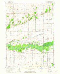
1963 Map of Illiana Heights
USGS Topo · Published 1965About this map
The Kankakee River serves as the focal point for this landscape, winding through a series of islands and camps along the Illinois-Indiana border. During the early 1960s, the river corridor supported recreational and residential pockets such as Log Cabin Camp, Shadow Lawn, and the evocative Garden of Eden. North of the river, the landscape transitions into a grid of agricultural drainage and rail infrastructure, defined by the Singleton Ditch and the intersection of the Chicago Milwaukee St Paul and Pacific and New York Central railroads. Small rail-side and rural settlements like Puder, Delmar, and Sherburnville dot the interior, while the eastern edge of the map preserves a portion of the Kankakee River State Park and the local West Creek Cem. This survey illustrates the mid-century transformation of the river's floodplains into organized seasonal and permanent communities.
Find a feature on this map
35 named features on this map. Tap any name to fly to it.
Don’t see what you’re looking for? This feature index may not catch every label — zoom into the map to look around manually.
Map Details
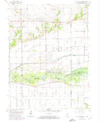
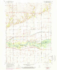
Editions of this 1963 Illiana Heights Map
3 editions found
Other maps of this area

1922 · Momence
USGS Topo · 1:62,500

1924 · Momence
USGS Topo · 1:62,500

1949 · Crete
USGS Topo · 1:62,500

1953 · Beecher West
USGS Topo · 1:24,000

1953 · Beecher East
USGS Topo · 1:24,000

1953 · Lowell
USGS Topo · 1:24,000

1953 · Chicago
USGS Topo · 1:250,000

1957 · Chicago
USGS Topo · 1:250,000

1959 · Schneider
USGS Topo · 1:24,000
1959 · Momence NE
USGS Topo · 1:24,000