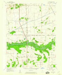
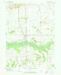
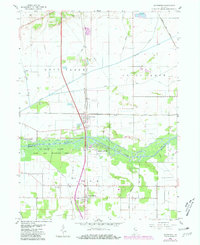
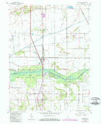
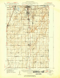
1959 Map of Schneider
USGS Topo · Published 1960About this map
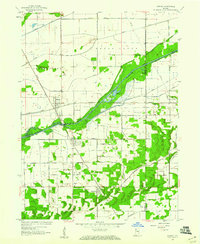
Schneider and Lake Village anchor this mid-century look at the borderlands of Lake and Newton counties, where the straightened course of the Kankakee River defines the rural landscape. The map captures an era when the New York Central and Monon railroads still provided critical transportation links through the marshy lowlands of the Kankakee River State Park. A complex network of drainage infrastructure, including the New York Central Ditch and Singleton Ditch, illustrates the massive 20th-century effort to reclaim these wetlands for agriculture and settlement.
Find a feature on this map
33 named features on this map. Tap any name to fly to it.
Don’t see what you’re looking for? This feature index may not catch every label — zoom into the map to look around manually.
Map Details
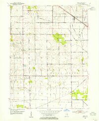
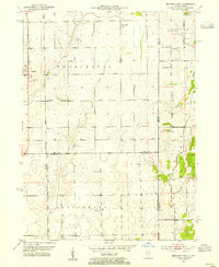
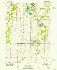
Editions of this 1959 Schneider Map
4 editions found
Other maps of this area

1922 · Momence
USGS Topo · 1:62,500

1924 · Momence
USGS Topo · 1:62,500
1949 · Crete
USGS Topo · 1:62,500
1953 · Leroy
USGS Topo · 1:24,000
1953 · Beecher East
USGS Topo · 1:24,000
1953 · Lowell
USGS Topo · 1:24,000

1953 · Chicago
USGS Topo · 1:250,000

1957 · Chicago
USGS Topo · 1:250,000
1959 · Shelby
USGS Topo · 1:24,000
1959 · Momence NE
USGS Topo · 1:24,000
Featured Places
- Schneider, West Creek Township
- Lake Village, IN
- Cedar Creek Township, IN
- Sumava Resorts, IN
- West Creek Township, IN