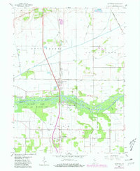
1959 Map of Schneider
USGS Topo · Published 1981About this map
Kankakee River wetlands and intensive drainage engineering define this portion of the Indiana borderlands. The landscape is carved by a complex network of man-made waterways including Singleton Ditch, Bruce Ditch, and Griesel Ditch, which were essential for reclaiming the low-lying prairie for agricultural use. The town of Schneider serves as a local hub, situated at the intersection of the Conrail line and significant local roads. Further south, the La Salle State Fish and Wildlife Area preserves the riparian character of the river valley.
Find a feature on this map
35 named features on this map. Tap any name to fly to it.
Don’t see what you’re looking for? This feature index may not catch every label — zoom into the map to look around manually.
Map Details
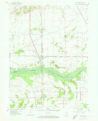
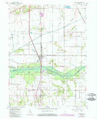
Editions of this 1959 Schneider Map
4 editions found
Other maps of this area

1922 · Momence
USGS Topo · 1:62,500

1924 · Momence
USGS Topo · 1:62,500

1949 · Crete
USGS Topo · 1:62,500

1953 · Leroy
USGS Topo · 1:24,000

1953 · Beecher East
USGS Topo · 1:24,000

1953 · Lowell
USGS Topo · 1:24,000

1953 · Chicago
USGS Topo · 1:250,000

1957 · Chicago
USGS Topo · 1:250,000

1959 · Schneider
USGS Topo · 1:24,000

1959 · Shelby
USGS Topo · 1:24,000