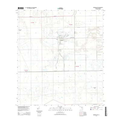
2015 Map of Immokalee SW
USGS Topo · Published 2015About this map
Ave Maria and the campus of Ave Maria Univ form the planned urban center of this Southwest Florida landscape, surrounded by an expansive grid of drainage canals and agricultural roads. The town's layout is meticulously detailed, featuring themed residential streets like Steinbeck Way, Milano St, and Erasmus Dr branching off the central Ave Maria Blvd. This planned development is situated among low-lying terrain characterized by "islands" of slightly higher ground, such as Big Corkscrew Island and Smallwood Island. To the south, the environment remains less developed, marked by isolated water bodies like Cox Lake and Brown Lake. The infrastructure is defined by long, straight arterial routes including Oil Well Rd, Pacific Grade Rd, and Immokalee Rd, which facilitate transport across the interior of Collier County.
Find a feature on this map
28 named features on this map. Tap any name to fly to it.
Don’t see what you’re looking for? This feature index may not catch every label — zoom into the map to look around manually.
Map Details
Editions of this 2015 Immokalee SW Map
This is the sole edition of this map. No revisions or reprints were ever made.
Other maps of this area

1956 · West Palm Beach
USGS Topo · 1:250,000

1957 · West Palm Beach
USGS Topo · 1:250,000

1958 · West Palm Beach
USGS Topo · 1:250,000
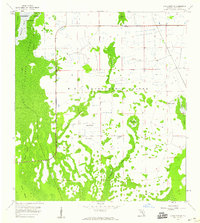
1958 · Corkscrew SE
USGS Topo · 1:24,000
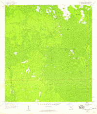
1958 · Catherine Island
USGS Topo · 1:24,000
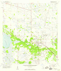
1958 · Immokalee
USGS Topo · 1:24,000
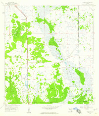
1958 · Sunniland
USGS Topo · 1:24,000
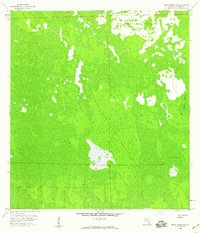
1958 · Belle Meade NE
USGS Topo · 1:24,000
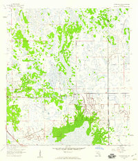
1958 · Immokalee NE
USGS Topo · 1:24,000
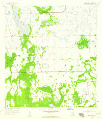
1958 · Immokalee SW
USGS Topo · 1:24,000