
1958 Map of Immokalee
USGS Topo · Published 1959About this map
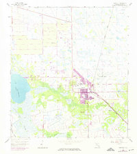
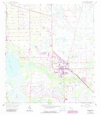
Immokalee serves as a concentrated hub of activity on the edge of the Florida Everglades, centered around the Atlantic Coast Line railroad and a grid of emerging town streets. The settlement is anchored by local institutions such as High Sch, Buthne Sch, and a Cem, while the Immokalee Airport and several nearby landmarks including a Beacon and Radio Tower point to its role as a regional transport and communication node.
Find a feature on this map
18 named features on this map. Tap any name to fly to it.
Don’t see what you’re looking for? This feature index may not catch every label — zoom into the map to look around manually.
Map Details
Editions of this 1958 Immokalee Map
3 editions found
Other maps of this area

1956 · West Palm Beach
USGS Topo · 1:250,000

1957 · West Palm Beach
USGS Topo · 1:250,000

1958 · West Palm Beach
USGS Topo · 1:250,000

1958 · Corkscrew SE
USGS Topo · 1:24,000

1958 · Felda SE
USGS Topo · 1:24,000

1958 · Felda
USGS Topo · 1:24,000

1958 · Sunniland
USGS Topo · 1:24,000

1958 · Immokalee NE
USGS Topo · 1:24,000

1958 · Immokalee SW
USGS Topo · 1:24,000

1958 · Alva SE
USGS Topo · 1:24,000