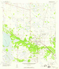
1958 Map of Immokalee
USGS Topo · Published 1987About this map
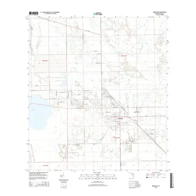
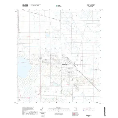
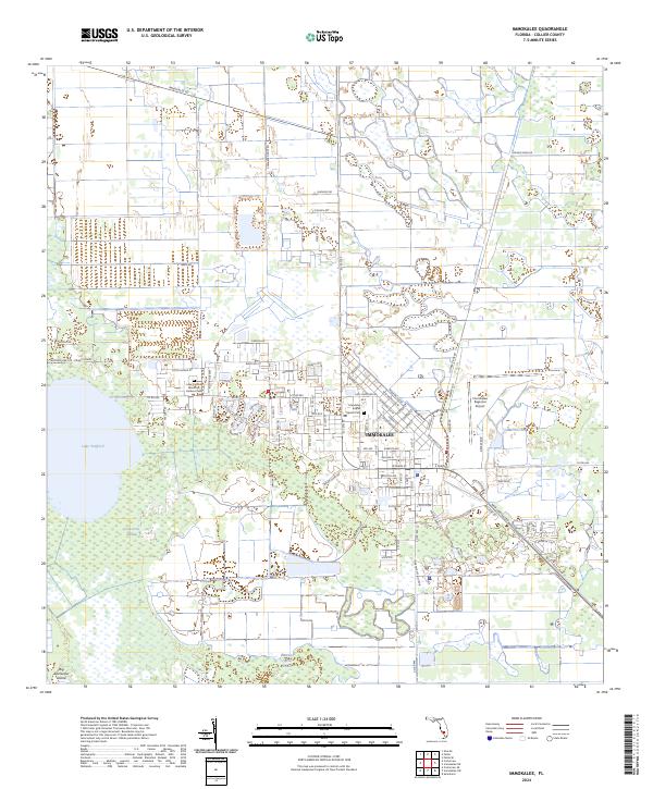
Immokalee serves as the central hub of this South Florida survey, where the expanding town site meets the edges of the western Everglades. The landscape is defined by the transition from agricultural and residential development to the hydrologic systems of the Corkscrew Swamp and the Baucom Cypress Strand. The community's infrastructure is anchored by the Immokalee Airport and its supporting Beacon, reflecting the importance of aviation in this relatively isolated interior region. Numerous Flowing Wells are mapped across the grid-patterned sections, indicating the historical reliance on artesian groundwater for both residential use and the local citrus or cattle industries. Institutional markers like the Bethne Sch and the central Cem provide specific points of interest for genealogical research, while the CSX rail line and several Trailer Parks trace the mid-century growth patterns of this Collier County community.
Find a feature on this map
18 named features on this map. Tap any name to fly to it.
Don’t see what you’re looking for? This feature index may not catch every label — zoom into the map to look around manually.
Map Details
Editions of this 1958 Immokalee Map
3 editions found
Historical Maps of Immokalee Through Time
6 maps found