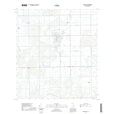
2018 Map of Immokalee SW
USGS Topo · Published 2018About this map
Ave Maria Univ serves as the central hub of this South Florida landscape, where recent academic development meets the ancient hydrology of the Everglades. The map captures a unique intersection of modern planning and traditional wetlands, characterized by a complex network of cypress strands and swamps that define the local terrain. Significant water-saturated features like the Corkscrew Swamp and Baucom Cypress Strand weave through the township lines of t47s r28e and t47s r29e, illustrating the persistent reach of the regional drainage system even as infrastructure expands.
Find a feature on this map
28 named features on this map. Tap any name to fly to it.
Don’t see what you’re looking for? This feature index may not catch every label — zoom into the map to look around manually.
Map Details
Editions of this 2018 Immokalee SW Map
This is the sole edition of this map. No revisions or reprints were ever made.
Other maps of this area

1956 · West Palm Beach
USGS Topo · 1:250,000

1957 · West Palm Beach
USGS Topo · 1:250,000

1958 · West Palm Beach
USGS Topo · 1:250,000
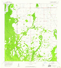
1958 · Corkscrew SE
USGS Topo · 1:24,000
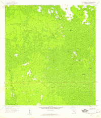
1958 · Catherine Island
USGS Topo · 1:24,000
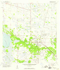
1958 · Immokalee
USGS Topo · 1:24,000
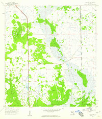
1958 · Sunniland
USGS Topo · 1:24,000
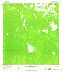
1958 · Belle Meade NE
USGS Topo · 1:24,000
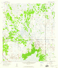
1958 · Immokalee NE
USGS Topo · 1:24,000
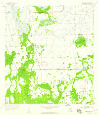
1958 · Immokalee SW
USGS Topo · 1:24,000