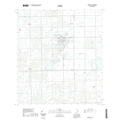
2021 Map of Immokalee SW
USGS Topo · Published 2021About this map
Ave Maria and its surrounding wetlands occupy this Collier County landscape, illustrating a modern planned community integrated into the Florida interior. Established in the early 21st century, the town center is dominated by Ave Maria University and a radial street pattern with names like Pope John Paul II Blvd and Ferrari Ave. The development stands in sharp contrast to the surrounding natural features, which are defined by vast cypress strands and swamps typical of the region's hydrology.
Find a feature on this map
42 named features on this map. Tap any name to fly to it.
Don’t see what you’re looking for? This feature index may not catch every label — zoom into the map to look around manually.
Map Details
Editions of this 2021 Immokalee SW Map
This is the sole edition of this map. No revisions or reprints were ever made.
Other maps of this area

1956 · West Palm Beach
USGS Topo · 1:250,000

1957 · West Palm Beach
USGS Topo · 1:250,000

1958 · West Palm Beach
USGS Topo · 1:250,000

1958 · Corkscrew SE
USGS Topo · 1:24,000

1958 · Catherine Island
USGS Topo · 1:24,000

1958 · Immokalee
USGS Topo · 1:24,000

1958 · Sunniland
USGS Topo · 1:24,000

1958 · Belle Meade NE
USGS Topo · 1:24,000

1958 · Immokalee NE
USGS Topo · 1:24,000

1958 · Immokalee SW
USGS Topo · 1:24,000