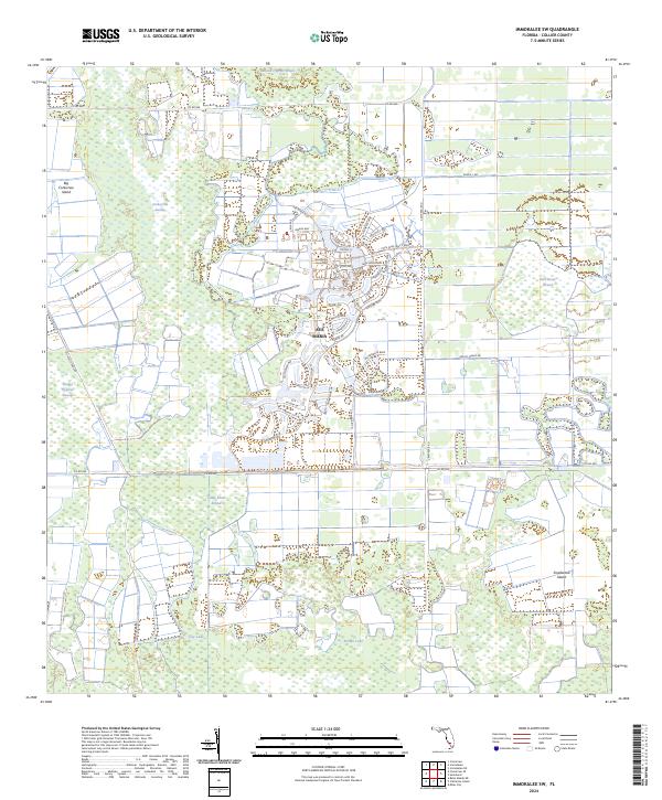
2024 Map of Immokalee SW
USGS Topo · Published 2024About this map
Ave Maria and the Ave Maria University campus form a modern center of habitation surrounded by the extensive wetlands of the Florida interior. This landscape is defined by the alternation of swampy depressions and slightly elevated landforms, including Big Corkscrew Island and Smallwood Island. The intricate network of surface water is mapped through various strands and sloughs, such as Baucom Cypress Strand to the north and Camp Keais Strand further south, illustrating the drainage patterns that characterize this part of the state.
Find a feature on this map
50 named features on this map. Tap any name to fly to it.
Don’t see what you’re looking for? This feature index may not catch every label — zoom into the map to look around manually.
Map Details
Editions of this 2024 Immokalee SW Map
This is the sole edition of this map. No revisions or reprints were ever made.
Other maps of this area

1956 · West Palm Beach
USGS Topo · 1:250,000

1957 · West Palm Beach
USGS Topo · 1:250,000

1958 · West Palm Beach
USGS Topo · 1:250,000

1958 · Corkscrew SE
USGS Topo · 1:24,000

1958 · Catherine Island
USGS Topo · 1:24,000

1958 · Immokalee
USGS Topo · 1:24,000

1958 · Sunniland
USGS Topo · 1:24,000

1958 · Belle Meade NE
USGS Topo · 1:24,000

1958 · Immokalee NE
USGS Topo · 1:24,000

1958 · Immokalee SW
USGS Topo · 1:24,000