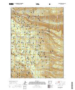
2020 Map of Imnaha Creek
USGS Topo · Published 2020About this map
Rogue River National Forest dominates this landscape in Jackson County, where a complex network of tributaries feeds the Middle Fork Rogue River. The area is defined by sharp topographic changes, from the heights of Mudjekeewis Mtn and Gopher Ridge to the low-lying Black Bear Swamp. Water is the primary feature of this region, with named springs like Geyser Spring and Fantail Spring surfacing throughout the timbered slopes. Hikers and researchers can trace the path of the Mudjekeewis Trail as it skirts the northeastern peaks near Kerby Hill. The southern portion of the map reveals a high concentration of water sources, including Big Ben Cr and Aspen Spring, illustrating the hydrologic importance of this forest territory. The presence of Alta Lake and numerous branches of Walla Walla Cr underscores the area's role as a vital watershed.
Find a feature on this map
56 named features on this map. Tap any name to fly to it.
Don’t see what you’re looking for? This feature index may not catch every label — zoom into the map to look around manually.
Map Details
Editions of this 2020 Imnaha Creek Map
This is the sole edition of this map. No revisions or reprints were ever made.
Other maps of this area
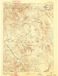
1891 · Ashland
USGS Topo · 1:250,000
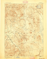
1893 · Ashland
USGS Topo · 1:250,000
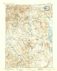
1897 · Ashland
USGS Topo · 1:250,000
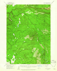
1955 · Rustler Peak
USGS Topo · 1:62,500
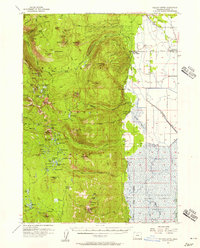
1955 · Pelican Butte
USGS Topo · 1:62,500

1955 · Medford
USGS Topo · 1:250,000
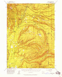
1956 · Prospect
USGS Topo · 1:62,500
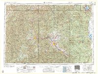
1957 · Medford
USGS Topo · 1:250,000
1958 · Medford
USGS Topo · 1:250,000
1985 · Rustler Peak
USGS Topo · 1:24,000