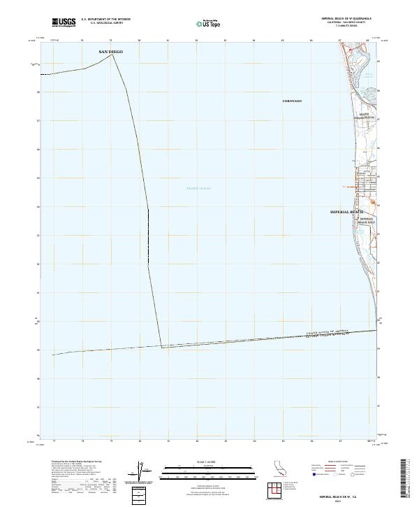
2021 Map of Imperial Beach OE W
USGS Topo · Published 2021About this map
The international border between the United States of America and Mexico anchors the southern edge of this coastal survey, where the Pacific coastline meets the protected wetlands of the Tijuana Slough National Wildlife Refuge. The map details the residential grid of Imperial Beach, showing street-level alignments from Palm Ave down to Ebony Ave. North of the town center, the narrow coastal landform supports the Silver Strand State Beach Trail and Bayshore Bikeway Trail, tracing the thin strip of land separating the open Pacific Ocean from the quiet waters of San Diego Bay and the Emory Channel. The spatial arrangement highlights the critical transition from urban development to the tidal ecosystems of Oneonta Slough, providing a precise look at the modern shoreline and maritime boundaries near Coronado.
Find a feature on this map
31 named features on this map. Tap any name to fly to it.
Don’t see what you’re looking for? This feature index may not catch every label — zoom into the map to look around manually.
Map Details
Editions of this 2021 Imperial Beach OE W Map
This is the sole edition of this map. No revisions or reprints were ever made.
Other maps of this area

1904 · San Diego
USGS Topo · 1:62,500

1904 · Southern California Sheet No. 2
USGS Topo · 1:250,000

1930 · San Diego
USGS Topo · 1:62,500

1942 · Point Loma
USGS Topo · 1:31,680
1943 · San Ysidro
USGS Topo · 1:31,680
1944 · National City
USGS Topo · 1:31,680

1950 · San Diego
USGS Topo · 1:250,000
1953 · San Ysidro
USGS Topo · 1:24,000
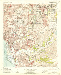
1953 · National City
USGS Topo · 1:24,000
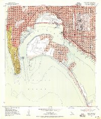
1953 · Point Loma
USGS Topo · 1:24,000