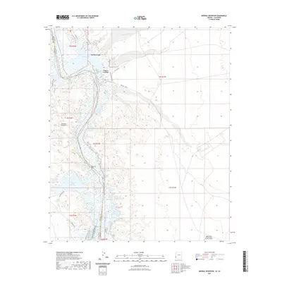
2021 Map of Imperial Reservoir
USGS Topo · Published 2021About this map
Martinez Lake and the Colorado River corridor define this desert borderland where the water of the river is diverted and managed for agriculture and recreation. The presence of the Gila Gravity Main Canal and the Senator Wash Reservoir underscores the hydraulic engineering necessary for habitation in the arid Southwest. Small lakeside settlements like Fishers Landing provide access to the river's backwaters, while the rugged Chocolate Mountains rise to the west, separated by the Explorers Pass. Military operations are represented at the Laguna Army Airfield (Yuma Proving Ground) near the southern end of the sheet. The landscape is a network of named desert tracks, including Red Cloud Mine Rd and Air Strip Rd, which navigate the various washes like Los Angeles Wash that feed into the river system along the Arizona and California boundary.
Find a feature on this map
30 named features on this map. Tap any name to fly to it.
Don’t see what you’re looking for? This feature index may not catch every label — zoom into the map to look around manually.
Map Details
Editions of this 2021 Imperial Reservoir Map
This is the sole edition of this map. No revisions or reprints were ever made.
Other maps of this area

1903 · Yuma
USGS Topo · 1:125,000

1905 · Yuma
USGS Topo · 1:125,000

1929 · Laguna
USGS Topo · 1:62,500

1939 · Red Hill
USGS Topo · 1:62,500

1942 · Yuma
USGS Topo · 1:250,000

1942 · Blythe
USGS Topo · 1:250,000

1943 · Laguna
USGS Topo · 1:62,500

1945 · Picacho Peak
USGS Topo · 1:62,500

1945 · Picacho
USGS Topo · 1:62,500

1951 · Picacho
USGS Topo · 1:62,500