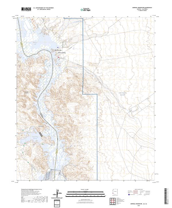
2023 Map of Imperial Reservoir
USGS Topo · Published 2023About this map
The Colorado River defines the border between Arizona and California, carving through a landscape dominated by water management and conservation. This area is anchored by the Imperial National Wildlife Refuge, where the river's flow is regulated and diverted through infrastructure like the Senator Wash Reservoir and the Gila Gravity Main Canal. Small communities such as Martinez Lake and Fishers Landing are situated along the eastern bank, serving as localized hubs for water access and recreation within the desert environment.
Find a feature on this map
36 named features on this map. Tap any name to fly to it.
Don’t see what you’re looking for? This feature index may not catch every label — zoom into the map to look around manually.
Map Details
Editions of this 2023 Imperial Reservoir Map
This is the sole edition of this map. No revisions or reprints were ever made.
Other maps of this area
1903 · Yuma
USGS Topo · 1:125,000
1905 · Yuma
USGS Topo · 1:125,000
1929 · Laguna
USGS Topo · 1:62,500
1939 · Red Hill
USGS Topo · 1:62,500
1942 · Yuma
USGS Topo · 1:250,000
1942 · Blythe
USGS Topo · 1:250,000
1943 · Laguna
USGS Topo · 1:62,500
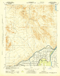
1945 · Picacho Peak
USGS Topo · 1:62,500
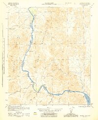
1945 · Picacho
USGS Topo · 1:62,500
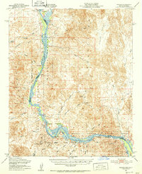
1951 · Picacho
USGS Topo · 1:62,500