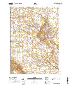
2020 Map of Imperial Valley South
USGS Topo · Published 2020About this map
Frederick Butte Rd serves as the primary artery through this high desert terrain, where water management is critical for the surrounding landscape. The area is defined by a network of seasonal water sources and catchment points, including Meeks Waterhole, Rim Waterhole, and Ram Lake South Waterhole. These features, along with shallow basins like Mud Lake and Grassy Lake, suggest a land historically utilized for ranching and livestock movement. The topography transitions from level expanses such as Sunflower Flat and Braken Flat to prominent elevations like Bronco Butte and Corral Butte. This landscape is marked by the distinct drainage patterns of Rimrock Cr and the unique formation of Coyote Rock, reflecting the arid geography of the Deschutes County interior.
Find a feature on this map
22 named features on this map. Tap any name to fly to it.
Don’t see what you’re looking for? This feature index may not catch every label — zoom into the map to look around manually.
Map Details
Editions of this 2020 Imperial Valley South Map
This is the sole edition of this map. No revisions or reprints were ever made.
Other maps of this area

1955 · Crescent
USGS Topo · 1:250,000

1957 · Crescent
USGS Topo · 1:250,000

1958 · Crescent
USGS Topo · 1:250,000
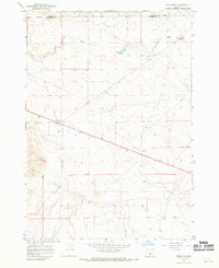
1967 · Brothers
USGS Topo · 1:24,000

1970 · Crescent
USGS Topo · 1:250,000
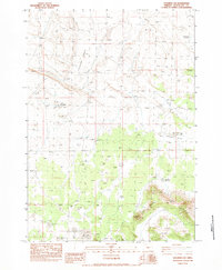
1983 · Soldiers Cap
USGS Topo · 1:24,000

1983 · Hampton Butte
USGS Topo · 1:24,000

1983 · Imperial Valley South
USGS Topo · 1:24,000

1983 · Benjamin Lake
USGS Topo · 1:24,000

1983 · West of Hampton
USGS Topo · 1:24,000