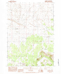
1983 Map of Soldiers Cap
USGS Topo · Published 1983About this map
Soldiers Cap rises as a prominent landmark above the surrounding high desert of Deschutes County, where water sources define the geography of the range. Surveyed in the early 1980s, this landscape is characterized by its reliance on isolated water points like Cruiser Well, Frederick Butte Well, and several strategic catchments such as Baldwin Waterhole and Viewpoint Waterhole. The map reveals a pattern of ephemeral hydrology, with Little Mud Lake and various areas labeled Dry Lake suggesting a seasonal environment where moisture is fleeting.
Find a feature on this map
16 named features on this map. Tap any name to fly to it.
Don’t see what you’re looking for? This feature index may not catch every label — zoom into the map to look around manually.
Map Details
Editions of this 1983 Soldiers Cap Map
This is the sole edition of this map. No revisions or reprints were ever made.
Other maps of this area

1955 · Crescent
USGS Topo · 1:250,000

1957 · Crescent
USGS Topo · 1:250,000

1958 · Crescent
USGS Topo · 1:250,000
1967 · Brothers SW
USGS Topo · 1:24,000
1967 · Brothers
USGS Topo · 1:24,000

1970 · Crescent
USGS Topo · 1:250,000

1983 · Imperial Valley South
USGS Topo · 1:24,000
1983 · Last Chance Lake
USGS Topo · 1:24,000
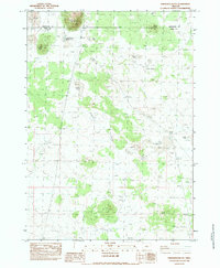
1983 · Frederick Butte
USGS Topo · 1:24,000
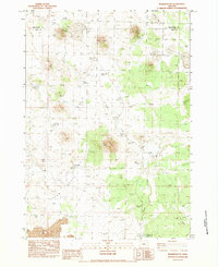
1983 · Walker Butte
USGS Topo · 1:24,000