
1983 Map of Imperial Valley South
USGS Topo · Published 1983About this map
Cody Well and Burns Well represent the vital water infrastructure necessary for survival in this arid stretch of Central Oregon. The landscape is defined by vast volcanic and sedimentary features, where name-bearing landmarks like Brondo Butte and Coyote Rock rise above the surrounding flats. A network of unimproved 4WD tracks and a Single Wood Pole Power Line provide the only modern intrusions into a basin characterized by ephemeral water bodies, including Ram Dry Lake, Grassy Lake, and Skull Lake. For researchers of the High Desert, the map reveals the placement of isolated pastoral improvements such as Peters Well and Rim Waterhole, tracing a pattern of land use where accessibility is governed by the shifting availability of water and the orientation of dramatic rimrocks.
Find a feature on this map
28 named features on this map. Tap any name to fly to it.
Don’t see what you’re looking for? This feature index may not catch every label — zoom into the map to look around manually.
Map Details
Editions of this 1983 Imperial Valley South Map
This is the sole edition of this map. No revisions or reprints were ever made.
Other maps of this area

1955 · Crescent
USGS Topo · 1:250,000

1957 · Crescent
USGS Topo · 1:250,000

1958 · Crescent
USGS Topo · 1:250,000
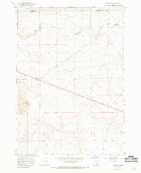
1967 · Brothers
USGS Topo · 1:24,000

1970 · Crescent
USGS Topo · 1:250,000
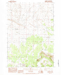
1983 · Soldiers Cap
USGS Topo · 1:24,000

1983 · Hampton Butte
USGS Topo · 1:24,000

1983 · Benjamin Lake
USGS Topo · 1:24,000

1983 · West of Hampton
USGS Topo · 1:24,000
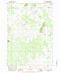
1983 · Last Chance Lake
USGS Topo · 1:24,000