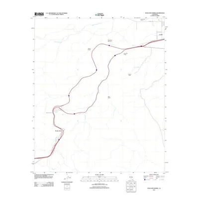
2012 Map of In-Ko-Pah Gorge
USGS Topo · Published 2012About this map
Mountain Spring and Boulder Park sit along the winding transition from the high desert to the lower basin, where modern infrastructure follows ancient desert pathways. This map details the intersection of transportation and topography in the early 21st century, centered on the dramatic descent through In-Ko-Pah Gorge. The layout of the roads, including Old Highway 80 and In-Ko-Pah Rd, illustrates how human travel has been funneled through natural gaps like Devils Canyon.
Find a feature on this map
22 named features on this map. Tap any name to fly to it.
Don’t see what you’re looking for? This feature index may not catch every label — zoom into the map to look around manually.
Map Details
Editions of this 2012 In-Ko-Pah Gorge Map
This is the sole edition of this map. No revisions or reprints were ever made.
Other maps of this area

1915 · El Centro
USGS Topo · 1:125,000

1931 · Carrizo
USGS Topo · 1:125,000

1939 · Jacumba
USGS Topo · 1:62,500

1940 · Plaster City
USGS Topo · 1:62,500

1940 · Coyote Wells
USGS Topo · 1:62,500

1942 · El Centro
USGS Topo · 1:250,000

1942 · Carrizo Mtn
USGS Topo · 1:62,500

1942 · Jacumba
USGS Topo · 1:62,500

1943 · Coyote Wells
USGS Topo · 1:62,500

1944 · Plaster City
USGS Topo · 1:62,500