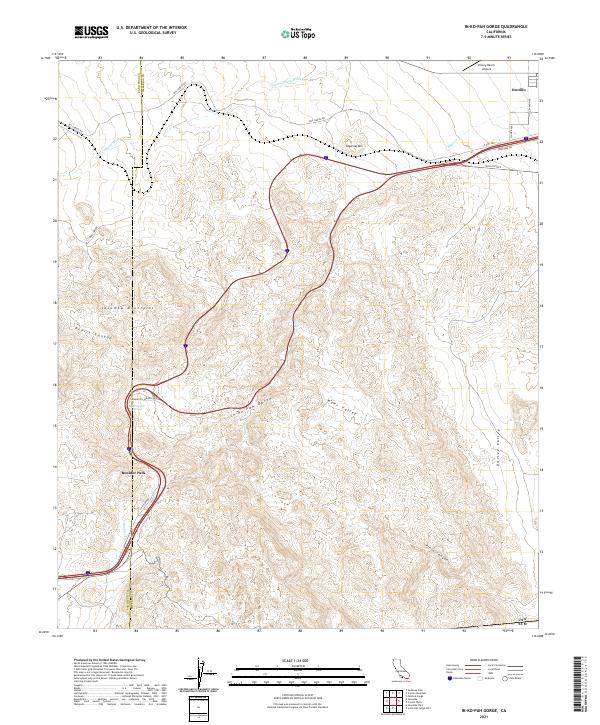
2021 Map of In-Ko-Pah Gorge
USGS Topo · Published 2021About this map
Ocotillo and the surrounding high desert terrain define this corner of the California-Mexico border region, where the Jacumba Mountains drop toward the Imperial Valley. This landscape is marked by the dramatic descent of In-Ko-Pah Gorge and the winding course of Devils Canyon. The historical importance of this corridor for travel is evident in the alignment of modern routes near the traditional Mountain Spring and Boulder Park areas, which served as vital stopovers for transcontinental travelers transitioning from the mountain passes to the desert floor. The map tracks seasonal drainage patterns through Palm Canyon Wash and Myer Creek, illustrating how water shaped the accessibility of Myer Valley and Davies Valley. These features reveal the geographic constraints that dictated early road building, from the steep grades of Mountain Springs Road to the remote expanses of Pinto Canyon.
Find a feature on this map
32 named features on this map. Tap any name to fly to it.
Don’t see what you’re looking for? This feature index may not catch every label — zoom into the map to look around manually.
Map Details
Editions of this 2021 In-Ko-Pah Gorge Map
This is the sole edition of this map. No revisions or reprints were ever made.
Other maps of this area

1915 · El Centro
USGS Topo · 1:125,000

1931 · Carrizo
USGS Topo · 1:125,000

1939 · Jacumba
USGS Topo · 1:62,500

1940 · Plaster City
USGS Topo · 1:62,500

1940 · Coyote Wells
USGS Topo · 1:62,500

1942 · El Centro
USGS Topo · 1:250,000

1942 · Carrizo Mtn
USGS Topo · 1:62,500

1942 · Jacumba
USGS Topo · 1:62,500

1943 · Coyote Wells
USGS Topo · 1:62,500

1944 · Plaster City
USGS Topo · 1:62,500