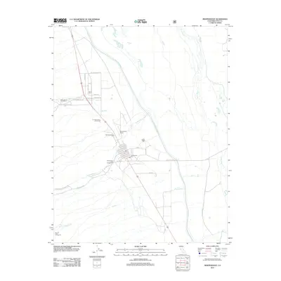
2012 Map of Independence
USGS Topo · Published 2012About this map
Independence serves as a focal point in the Owens Valley, situated between the high peaks of Kings Canyon National Park and the Owens River. This 2012 survey illustrates the critical infrastructure of the region, specifically the Los Angeles Aqueduct and the Stevens Canal, which dominate the eastern valley floor. Local history is deeply rooted in the area, evidenced by several distinct burial sites including the Indian Cem, the Old Independence Cem, and the more modern Independence Cem. The map shows a transition from the town's residential grid, featuring streets like W Citrus St and Market, to the recreational and utilitarian lands surrounding it. Notable landmarks such as the Mount Whitney Fish Hatchery and the Independence Airport reflect the mix of state conservation efforts and regional transport that define this part of Inyo County.
Find a feature on this map
30 named features on this map. Tap any name to fly to it.
Don’t see what you’re looking for? This feature index may not catch every label — zoom into the map to look around manually.
Map Details
Editions of this 2012 Independence Map
This is the sole edition of this map. No revisions or reprints were ever made.
Other maps of this area

1907 · Mt. Whitney
USGS Topo · 1:125,000

1919 · Mt. Whitney
USGS Topo · 1:125,000

1937 · Mt. Whitney
USGS Topo · 1:125,000

1948 · Fresno
USGS Topo · 1:250,000

1951 · Independence
USGS Topo · 1:62,500

1953 · Mt. Pinchot
USGS Topo · 1:62,500

1955 · Fresno
USGS Topo · 1:250,000

1956 · Fresno
USGS Topo · 1:250,000

1956 · Mount Whitney
USGS Topo · 1:62,500

1958 · Fresno
USGS Topo · 1:250,000