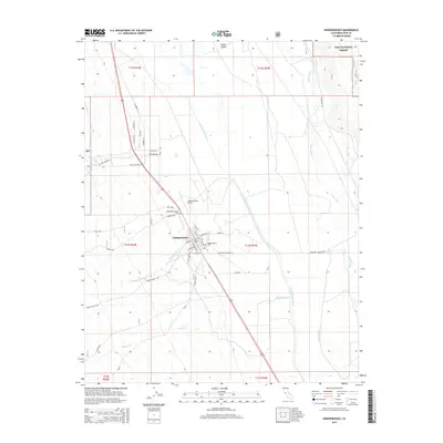
2015 Map of Independence
USGS Topo · Published 2015About this map
Independence serves as a central hub in this high-desert landscape, situated where the Sierra Nevada runoff meets the flat expanse of the Owens Valley. The map shows a meticulously planned town grid with residential streets like S Washington St and W Citrus St, bordered by critical water infrastructure including the Los Angeles Aqueduct and the winding Owens River. Genealogists will find the Old Independence Cem and Independence Cem north of the main settlement particularly useful for tracing local family histories. The surrounding terrain is defined by several seasonal watercourses such as Independence Cr, Symmes Cr, and Oak Cr, which originate in the nearby Inyo National Forest. Notable landmarks such as the Independence Airport and several springs, including Tub Spgs and Boron Spgs, reflect the necessity of managing resources in this arid environment.
Find a feature on this map
43 named features on this map. Tap any name to fly to it.
Don’t see what you’re looking for? This feature index may not catch every label — zoom into the map to look around manually.
Map Details
Editions of this 2015 Independence Map
This is the sole edition of this map. No revisions or reprints were ever made.
Other maps of this area
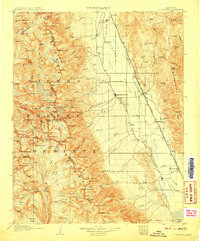
1907 · Mt. Whitney
USGS Topo · 1:125,000
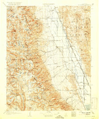
1919 · Mt. Whitney
USGS Topo · 1:125,000
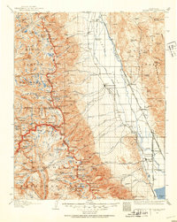
1937 · Mt. Whitney
USGS Topo · 1:125,000

1948 · Fresno
USGS Topo · 1:250,000
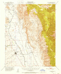
1951 · Independence
USGS Topo · 1:62,500
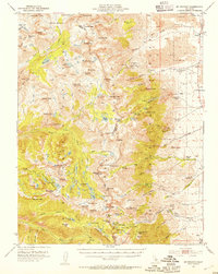
1953 · Mt. Pinchot
USGS Topo · 1:62,500
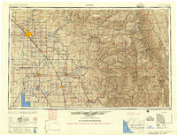
1955 · Fresno
USGS Topo · 1:250,000
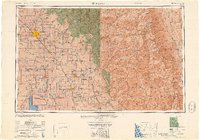
1956 · Fresno
USGS Topo · 1:250,000
1956 · Mount Whitney
USGS Topo · 1:62,500
1958 · Fresno
USGS Topo · 1:250,000