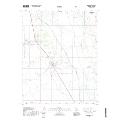
2018 Map of Independence
USGS Topo · Published 2018About this map
Independence sits at the heart of the Owens Valley, serving as a central hub in a landscape defined by water management and the transition from mountain foothills to the valley floor. This 2018 survey highlights the intricate local hydrology, where natural features like Tulare Swamp and the Owens River contrast with the engineered path of the Los Angeles Aqueduct and Stevens Canal. For those interested in local heritage, the map identifies both the Independence Cem and the Old Independence Cem, alongside civil infrastructure like the Independence Airport.
Find a feature on this map
35 named features on this map. Tap any name to fly to it.
Don’t see what you’re looking for? This feature index may not catch every label — zoom into the map to look around manually.
Map Details
Editions of this 2018 Independence Map
This is the sole edition of this map. No revisions or reprints were ever made.
Other maps of this area
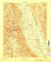
1907 · Mt. Whitney
USGS Topo · 1:125,000
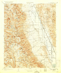
1919 · Mt. Whitney
USGS Topo · 1:125,000
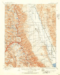
1937 · Mt. Whitney
USGS Topo · 1:125,000

1948 · Fresno
USGS Topo · 1:250,000
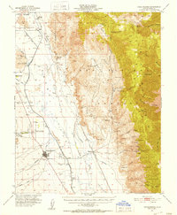
1951 · Independence
USGS Topo · 1:62,500
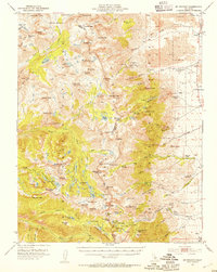
1953 · Mt. Pinchot
USGS Topo · 1:62,500
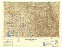
1955 · Fresno
USGS Topo · 1:250,000
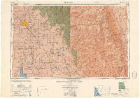
1956 · Fresno
USGS Topo · 1:250,000
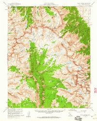
1956 · Mount Whitney
USGS Topo · 1:62,500
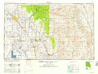
1958 · Fresno
USGS Topo · 1:250,000