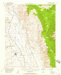
1951 Map of Independence
USGS Topo · Published 1958About this map
Independence serves as the focal point of this mid-century desert landscape, situated at the base of the Inyo Mountains where the Owens River and the Los Angeles Aqueduct parallel each other through the Owens Valley. The map details the complex water infrastructure of the era, including the Owens River Canal, Aberdeen Ditch, and Eclipse Ditch, which supported local ranching at Eightmile Ranch and Taboose Ranch. To the east, the steep canyons of the Inyos are dotted with legacy mining operations such as the Green Monster Mine, Black Eagle Mine, and the Betty Jumbo Mine.
Find a feature on this map
66 named features on this map. Tap any name to fly to it.
Don’t see what you’re looking for? This feature index may not catch every label — zoom into the map to look around manually.
Map Details
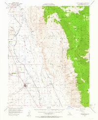
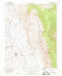
Editions of this 1951 Independence Map
4 editions found

Other maps of this area

1907 · Mt. Whitney
USGS Topo · 1:125,000

1908 · Lida
USGS Topo · 1:250,000

1908 · Ballarat
USGS Topo · 1:250,000

1913 · Bishop
USGS Topo · 1:125,000

1913 · Lida
USGS Topo · 1:250,000

1913 · Ballarat
USGS Topo · 1:250,000

1919 · Mt. Whitney
USGS Topo · 1:125,000

1937 · Mt. Whitney
USGS Topo · 1:125,000

1947 · Mariposa
USGS Topo · 1:250,000

1948 · Death Valley
USGS Topo · 1:250,000