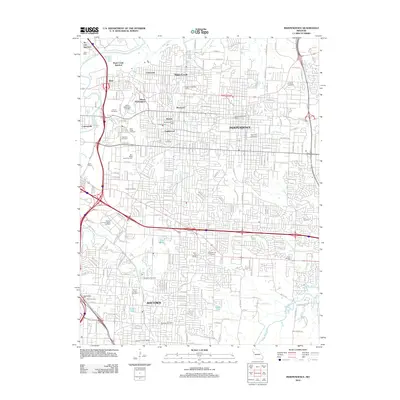
2012 Map of Independence
USGS Topo · Published 2012About this map
Independence and Raytown form the core of this urban landscape as it appeared in the early 21st century. The map reveals a dense network of residential streets and arterial roads like Blue Ridge Blvd and Manchester Trfy, which connect established neighborhoods such as Maywood, Bristol, and Englewood. The presence of numerous historically significant burial grounds, including Mount Washington Cemetery, Woodlawn Cemetery, and Lincoln Cemetery, provides valuable data for genealogists tracking local family lineages.
Find a feature on this map
87 named features on this map. Tap any name to fly to it.
Don’t see what you’re looking for? This feature index may not catch every label — zoom into the map to look around manually.
Map Details
Editions of this 2012 Independence Map
This is the sole edition of this map. No revisions or reprints were ever made.
Other maps of this area

1887 · Harrisonville
USGS Topo · 1:125,000

1887 · Olathe
USGS Topo · 1:125,000

1890 · Kansas City
USGS Topo · 1:125,000

1892 · Harrisonville
USGS Topo · 1:125,000

1893 · Olathe
USGS Topo · 1:125,000

1894 · Kansas City
USGS Topo · 1:125,000

1894 · Harrisonville
USGS Topo · 1:125,000

1894 · Independence
USGS Topo · 1:125,000

1933 · Blue Springs
USGS Topo · 1:24,000

1934 · Independence
USGS Topo · 1:24,000