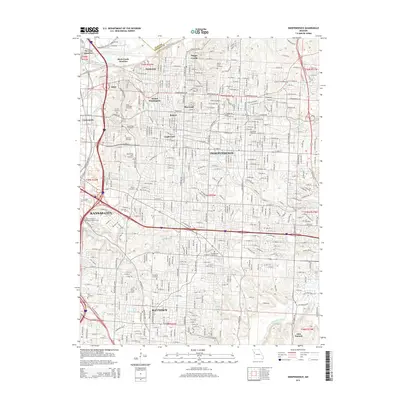
2015 Map of Independence
USGS Topo · Published 2015About this map
Independence sits at the heart of this modern survey, surrounded by established neighborhoods and industrial nodes including Maywood, Bristol, and Englewood. The landscape is heavily marked by its history as a crossroads, shown through the dense rail infrastructure of the Kansas City Southern RR and strategic transit points like Air Line Junction and Rock Creek Junction. The eastern portion of Kansas City and the northern edge of Raytown are also visible, showcasing the continuous urban development that bridges these municipalities.
Find a feature on this map
132 named features on this map. Tap any name to fly to it.
Don’t see what you’re looking for? This feature index may not catch every label — zoom into the map to look around manually.
Map Details
Editions of this 2015 Independence Map
This is the sole edition of this map. No revisions or reprints were ever made.
Other maps of this area

1887 · Harrisonville
USGS Topo · 1:125,000

1887 · Olathe
USGS Topo · 1:125,000

1890 · Kansas City
USGS Topo · 1:125,000

1892 · Harrisonville
USGS Topo · 1:125,000

1893 · Olathe
USGS Topo · 1:125,000

1894 · Kansas City
USGS Topo · 1:125,000

1894 · Harrisonville
USGS Topo · 1:125,000

1894 · Independence
USGS Topo · 1:125,000

1933 · Blue Springs
USGS Topo · 1:24,000

1934 · Independence
USGS Topo · 1:24,000