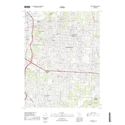
2017 Map of Independence
USGS Topo · Published 2017About this map
Independence and the eastern reaches of Kansas City define this heavily developed landscape, characterized by a dense grid of residential neighborhoods and industrial corridors. The legacy of the 33rd President is preserved at the Harry S Truman National Historic Site, a focal point in a region that has seen continuous growth since the mid-20th century. Transportation remains central to the area's identity, with the Kansas City Southern Ry and Rock Creek Junction facilitating regional movement.
Find a feature on this map
216 named features on this map. Tap any name to fly to it.
Don’t see what you’re looking for? This feature index may not catch every label — zoom into the map to look around manually.
Map Details
Editions of this 2017 Independence Map
This is the sole edition of this map. No revisions or reprints were ever made.
Other maps of this area

1887 · Harrisonville
USGS Topo · 1:125,000

1887 · Olathe
USGS Topo · 1:125,000

1890 · Kansas City
USGS Topo · 1:125,000

1892 · Harrisonville
USGS Topo · 1:125,000

1893 · Olathe
USGS Topo · 1:125,000

1894 · Kansas City
USGS Topo · 1:125,000

1894 · Harrisonville
USGS Topo · 1:125,000

1894 · Independence
USGS Topo · 1:125,000

1933 · Blue Springs
USGS Topo · 1:24,000

1934 · Independence
USGS Topo · 1:24,000