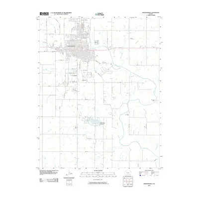
2010 Map of Independence
USGS Topo · Published 2010About this map
The Independence street grid dominates the upper-left quadrant of this Montgomery County survey, illustrating the town's expansion toward the smaller settlement of Fruitland. This 2010 map shows a community defined by its proximity to the winding Verdigris River, which snakes through the eastern half of the quadrangle. Significant local history is preserved in a cluster of burial grounds north of the city center, including Calvary Cemetery, Mount Hope Cemetery, and Lutheran Cemetery, while the more isolated Pratt Cemetery sits to the east near Bloody Run. The landscape transitions from urban residential blocks to a rural hydrological network centered on the Montgomery County State Lake and its associated Montgomery County-State Lake Dam. To the south, infrastructure like the McTaggart Bridge and Moyer Dam manage the flow of various tributaries, including Coal Creek and Clear Creek, as they move toward the river valley.
Find a feature on this map
67 named features on this map. Tap any name to fly to it.
Don’t see what you’re looking for? This feature index may not catch every label — zoom into the map to look around manually.
Map Details
Editions of this 2010 Independence Map
This is the sole edition of this map. No revisions or reprints were ever made.
Other maps of this area

1886 · Independence
USGS Topo · 1:125,000

1894 · Independence
USGS Topo · 1:125,000

1905 · Independence
USGS Topo · 1:125,000

1947 · Joplin
USGS Topo · 1:250,000

1949 · Joplin
USGS Topo · 1:250,000

1954 · Joplin
USGS Topo · 1:250,000

1958 · Joplin
USGS Topo · 1:250,000
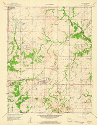
1959 · Tyro
USGS Topo · 1:24,000

1959 · Joplin
USGS Topo · 1:250,000
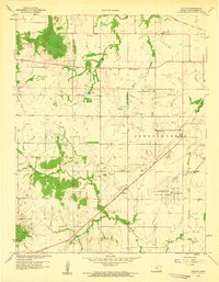
1959 · Bolton
USGS Topo · 1:24,000