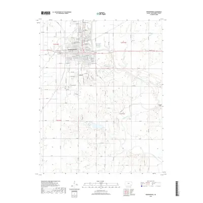
2018 Map of Independence
USGS Topo · Published 2018About this map
Independence serves as the central hub of this Montgomery County landscape, where the grid of city streets meets the winding course of the Verdigris River. The map captures the interface between urban development and the surrounding rural topography, highlighted by the concentration of several large burial grounds on the city's northern edge, including Mount Hope Cem, Calvary Cem, and Zion Lutheran Cem. These sites, along with the isolated Pratt Cem to the east, provide significant touchstones for genealogical research in the region.
Find a feature on this map
124 named features on this map. Tap any name to fly to it.
Don’t see what you’re looking for? This feature index may not catch every label — zoom into the map to look around manually.
Map Details
Editions of this 2018 Independence Map
This is the sole edition of this map. No revisions or reprints were ever made.
Other maps of this area
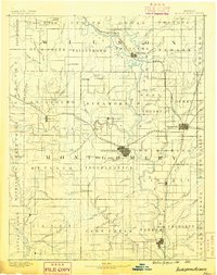
1886 · Independence
USGS Topo · 1:125,000
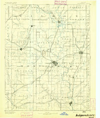
1894 · Independence
USGS Topo · 1:125,000
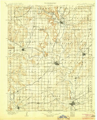
1905 · Independence
USGS Topo · 1:125,000

1947 · Joplin
USGS Topo · 1:250,000
1949 · Joplin
USGS Topo · 1:250,000
1954 · Joplin
USGS Topo · 1:250,000
1958 · Joplin
USGS Topo · 1:250,000
1959 · Tyro
USGS Topo · 1:24,000
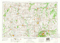
1959 · Joplin
USGS Topo · 1:250,000
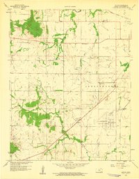
1959 · Bolton
USGS Topo · 1:24,000