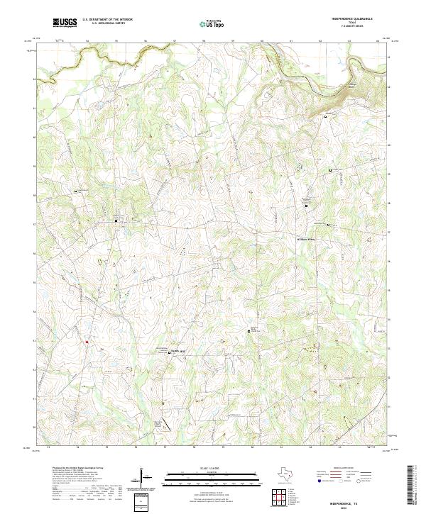
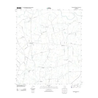
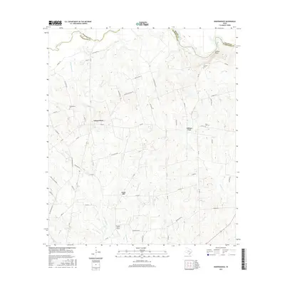
2022 Map of Independence
USGS Topo · Published 2022About this map
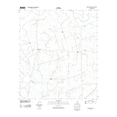
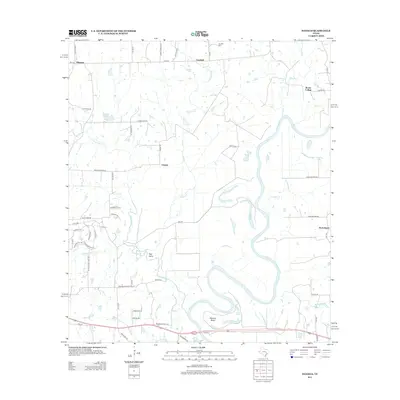
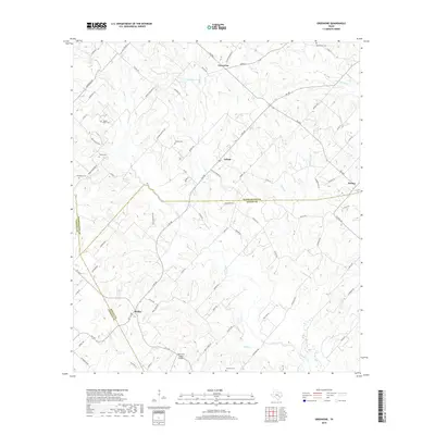
The Brazos River forms a naturally winding boundary at the northeastern edge of this Washington County landscape, carved by tributaries like Yegua Creek and Independence Creek. The area is characterized by a high concentration of family and community burial grounds, such as the Houston-Lea Family Cem and the Independence Cem, which point to the deep-rooted settlement history of early Texas families. Small rural communities are anchored by religious and social centers, including William Penn and Sandy Hill.
Find a feature on this map
69 named features on this map. Tap any name to fly to it.
Don’t see what you’re looking for? This feature index may not catch every label — zoom into the map to look around manually.
Map Details
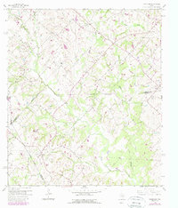
Editions of this 2022 Independence Map
This is the sole edition of this map. No revisions or reprints were ever made.
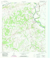
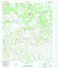
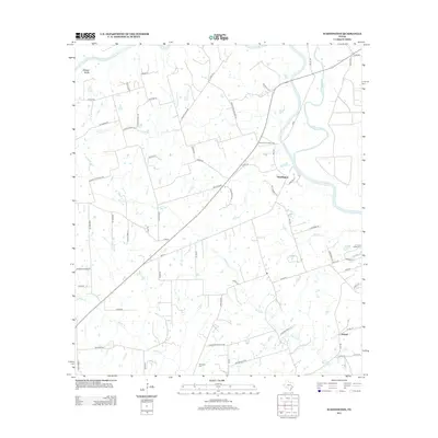
Historical Maps of William Penn Through Time
36 maps found
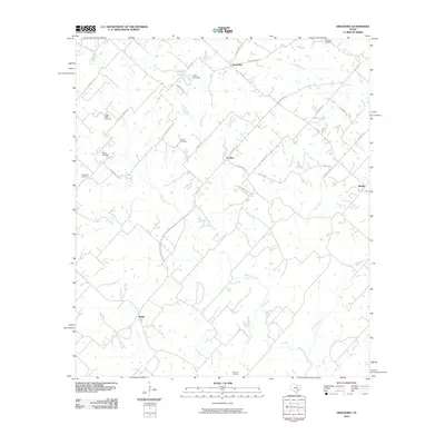
1958 Greenvine
Washington County, TX
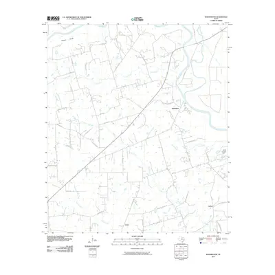
1958 Washington
Washington County, TX
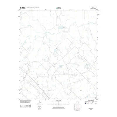
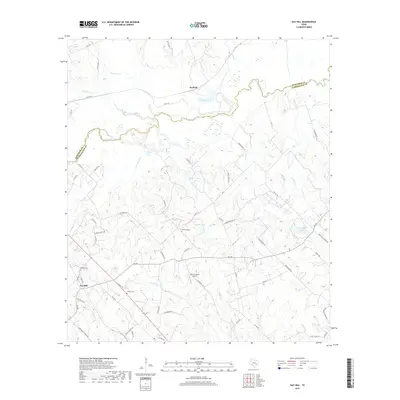
1959 Gay Hill
Washington County, TX
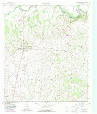
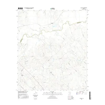
1959 Independence
Washington County, TX
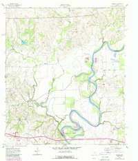
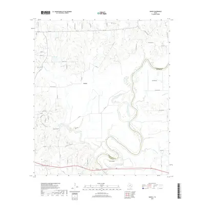
1961 Daniels
Washington County, TX

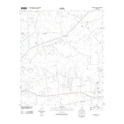
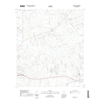
1963 Chappell Hill
Washington County, TX
2010 Chappell Hill
Washington County, TX
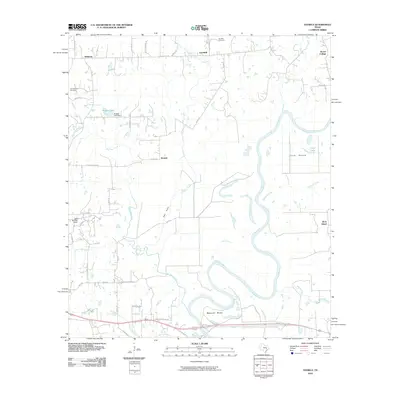
2010 Daniels
Washington County, TX
2010 Gay Hill
Washington County, TX
2010 Greenvine
Washington County, TX
2010 Independence
Washington County, TX
2010 Washington
Washington County, TX
2013 Chappell Hill
Washington County, TX
2013 Daniels
Washington County, TX
2013 Gay Hill
Washington County, TX
2013 Greenvine
Washington County, TX
2013 Independence
Washington County, TX
2013 Washington
Washington County, TX
2016 Chappell Hill
Washington County, TX
2016 Daniels
Washington County, TX
2016 Gay Hill
Washington County, TX
2016 Greenvine
Washington County, TX
2016 Independence
Washington County, TX
2016 Washington
Washington County, TX
2019 Chappell Hill
Washington County, TX
2019 Daniels
Washington County, TX
2019 Gay Hill
Washington County, TX
2019 Greenvine
Washington County, TX
2019 Independence
Washington County, TX
2019 Washington
Washington County, TX
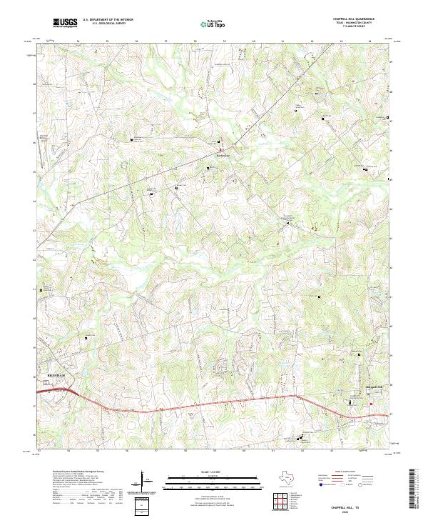
2022 Chappell Hill
Washington County, TX
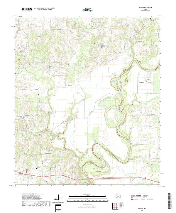
2022 Daniels
Washington County, TX
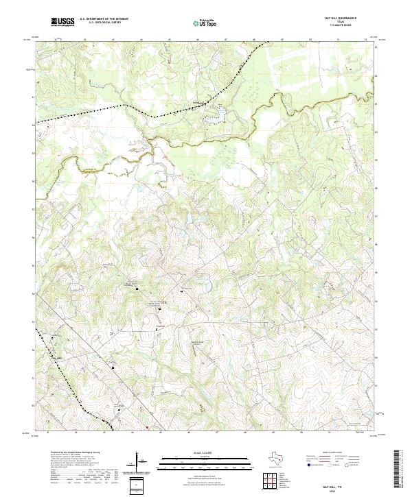
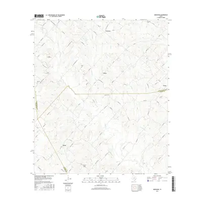
2022 Gay Hill
Washington County, TX
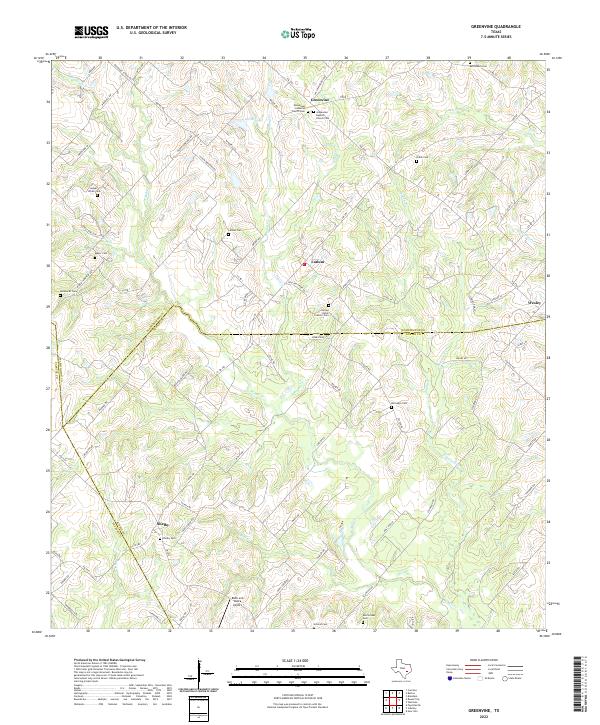
2022 Greenvine
Washington County, TX
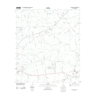
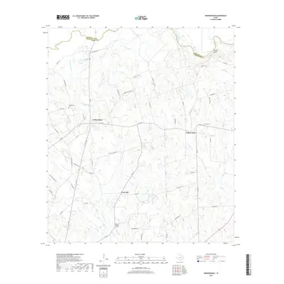
2022 Independence
Washington County, TX
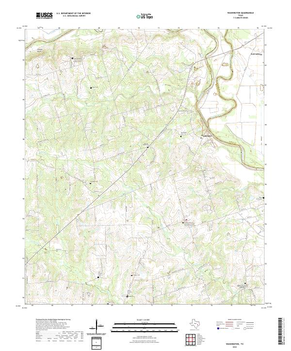
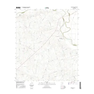
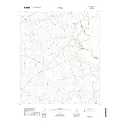
2022 Washington
Washington County, TX