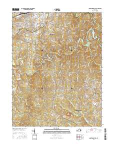
2016 Map of Independent Hill
USGS Topo · Published 2016About this map
The Occoquan River and its major tributaries, including Broad Run and Cedar Run, define the hydrology of this Prince William County landscape. Settled communities such as Brentsville, Buckhall, and Canova are interspersed with modern residential developments like Dale City and Ravenwood. The presence of several small burial grounds, including the Buckhall Community Cem and Woodbine Cem, provides valuable points of reference for local genealogical research. In the northern reaches, the map shows the transition from the city of Manassas into the rural suburbs of Georgetown South and Longview. This area is characterized by the Culpeper Basin geography and extensive forested tracts protected within the Prince William Forest Park and the Quantico Marine Corps Base.
Find a feature on this map
277 named features on this map. Tap any name to fly to it.
Don’t see what you’re looking for? This feature index may not catch every label — zoom into the map to look around manually.
Map Details
Editions of this 2016 Independent Hill Map
This is the sole edition of this map. No revisions or reprints were ever made.
Other maps of this area

1890 · Mt. Vernon
USGS Topo · 1:125,000

1891 · Mt. Vernon
USGS Topo · 1:125,000

1894 · Warrenton
USGS Topo · 1:125,000

1894 · Mt. Vernon
USGS Topo · 1:125,000

1897 · Mt. Vernon
USGS Topo · 1:125,000

1915 · Fairfax
USGS Topo · 1:62,500

1927 · Quantico
USGS Topo · 1:62,500

1933 · Middleburg
USGS Topo · 1:62,500

1940 · Quantico
USGS Topo · 1:62,500

1943 · Quantico
USGS Topo · 1:62,500