2022 Map of Independent Hill
USGS Topo · Published 2022About this map
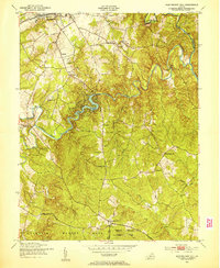
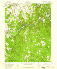
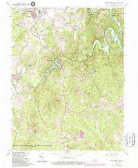
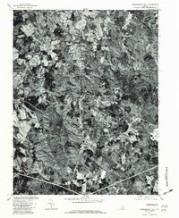
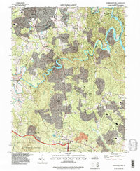
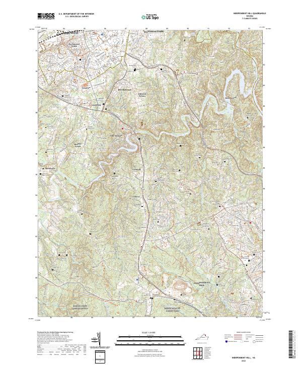
Prince William Forest Park and the sprawling grounds of Marine Corps Base Quantico anchor the southern portion of this landscape, where the waters of the Occoquan River and Lake Jackson meet a complex network of suburban development and historical sites. The area is exceptionally dense with family-named burial sites and community markers, including the Posey Family Burial Ground, Moor Green House Cem, and Brentsville Public Cem near the settlement of Brentsville. These features reflect a deep-rooted lineage of land ownership that persists even as neighborhoods like Georgetown South and Hillcrest Estates expand near Manassas. The map captures a transition between protected woodland and the expanding urban footprint of Northern Virginia, documenting the locations of rural crossroads like Canova and Cornwell alongside major landmarks like Signal Hill and the First Woodbine Church Cem.
Find a feature on this map
70 named features on this map. Tap any name to fly to it.
Don’t see what you’re looking for? This feature index may not catch every label — zoom into the map to look around manually.
Map Details
Editions of this 2022 Independent Hill Map
This is the sole edition of this map. No revisions or reprints were ever made.
Historical Maps of Manassas Park Through Time
6 maps found