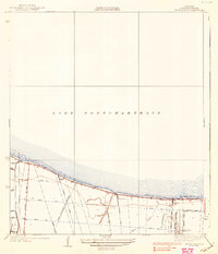
1938 Map of Indian Beach
USGS Topo · Published 1938About this map
Lake Pontchartrain dominates the northern half of this Jefferson Parish coastal survey, revealing a landscape defined by drainage engineering and early suburban development in the late 1930s. The southern portion shows a transition from the East Boundary of Kenner toward organized residential grids like Bonnabel Place and Indian Beach. This era is characterized by an extensive network of water management, from the numbered Canal No 1 through Canal No 14 to the essential Pump Sta No 1 and Pump Sta No 2. Natural waterways like Bayou Labarre and Bayou Tchoupitoulas still meander through the terrain, though they are increasingly bounded by straight-line roads such as Clearview Parkway and Bonnabel Boulevard. The inclusion of named streets like Soniat Street and Williams Street alongside large undeveloped tracts provides a detailed look at the area's mid-century footprint before later expansion.
Find a feature on this map
29 named features on this map. Tap any name to fly to it.
Don’t see what you’re looking for? This feature index may not catch every label — zoom into the map to look around manually.
Map Details
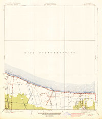
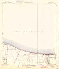
Editions of this 1938 Indian Beach Map
3 editions found
Other maps of this area

1891 · Hahnville
USGS Topo · 1:62,500

1891 · Spanish Fort
USGS Topo · 1:62,500

1891 · New Orleans
USGS Topo · 1:62,500

1892 · Bonnet Carre
USGS Topo · 1:62,500

1932 · New Orleans NE
USGS Topo · 1:31,680

1932 · New Orleans NW
USGS Topo · 1:31,680

1932 · Hahnville NE
USGS Topo · 1:31,680

1935 · Luling
USGS Topo · 1:31,680

1936 · Bonnet Carre
USGS Topo · 1:62,500

1936 · Spanish Fort
USGS Topo · 1:62,500