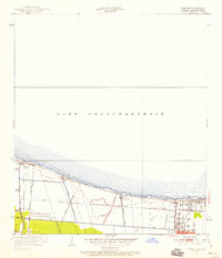
1952 Map of Indian Beach
USGS Topo · Published 1958About this map
Lake Pontchartrain dominates the northern half of this coastal survey, where the southern shore reveals a transitional landscape of wetlands and early suburban development in Jefferson Parish. The shoreline is punctuated by a series of critical drainage infrastructure, including Pump Sta No 1 through Pump Sta No 4, reflecting the engineering required to manage the low-lying terrain. Residential clusters like Indian Beach, Bucktown, and Bonnabel are established along the lakefront, connected by local thoroughfares such as Bonnabel Boulevard and Williams. A complex network of artificial waterways, including the numbered Canal No 1 through Canal No 14 and the Soniat Canal, crisscrosses the marshy ground. Notable landmarks of the era include the Radio Sta WWL tower, while natural features like Bayou Tchoupitoulas and Labarre hint at the original hydrology of the area before extensive channelization.
Find a feature on this map
33 named features on this map. Tap any name to fly to it.
Don’t see what you’re looking for? This feature index may not catch every label — zoom into the map to look around manually.
Map Details
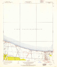
Editions of this 1952 Indian Beach Map
2 editions found
Other maps of this area

1891 · Hahnville
USGS Topo · 1:62,500

1891 · Spanish Fort
USGS Topo · 1:62,500

1891 · New Orleans
USGS Topo · 1:62,500

1892 · Bonnet Carre
USGS Topo · 1:62,500

1932 · New Orleans NE
USGS Topo · 1:31,680

1932 · New Orleans NW
USGS Topo · 1:31,680

1932 · Hahnville NE
USGS Topo · 1:31,680

1935 · Luling
USGS Topo · 1:31,680

1936 · Bonnet Carre
USGS Topo · 1:62,500

1936 · Spanish Fort
USGS Topo · 1:62,500