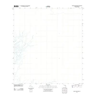
2012 Map of Indian Camp Creek
USGS Topo · Published 2012About this map
Broad River and its intricate network of tidal tributaries dominate this 2012 survey of the southern Florida coast. The landscape is defined entirely by water, where Indian Camp Cr and Rodgers Cr weave through the marshland to join the larger river system. This map reveals a region devoid of roads or human structures, illustrating the persistence of this subtropical wilderness into the twenty-first century. The detailed hydrography, including the paths of Lostmans Cr, provides an essential record of the natural drainage patterns in Monroe County, documenting the exact layout of these waterways before coastal shifts and environmental changes alter the sensitive estuarine environment.
Find a feature on this map
4 named features on this map. Tap any name to fly to it.
Don’t see what you’re looking for? This feature index may not catch every label — zoom into the map to look around manually.
Map Details
Editions of this 2012 Indian Camp Creek Map
This is the sole edition of this map. No revisions or reprints were ever made.
Other maps of this area

1956 · Miami
USGS Topo · 1:250,000

1958 · Miami
USGS Topo · 1:250,000

1972 · Shark Valley Lookout Tower
USGS Topo · 1:24,000

1972 · Harney River
USGS Topo · 1:24,000

1972 · Lostmans Trail
USGS Topo · 1:24,000

1972 · Big Boy Lake
USGS Topo · 1:24,000

1972 · Panther Mound
USGS Topo · 1:24,000

1972 · Tarpon Bay
USGS Topo · 1:24,000

1972 · Indian Camp Creek
USGS Topo · 1:24,000

1972 · Pa Hay Okee Lookout Tower
USGS Topo · 1:24,000