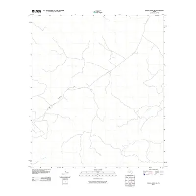
2010 Map of Indian Creek NE
USGS Topo · Published 2010About this map
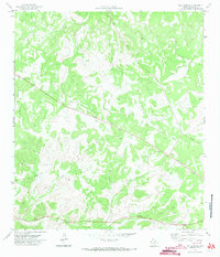
Indian Creek meanders through this Edwards County landscape, defining the local drainage patterns alongside Little Hackberry Draw and Possum Creek. In 2010, the primary corridor through this open terrain was Ranch Rd 674, which cuts diagonally across the quadrangle, providing the essential link for ranching interests in this part of the Texas Hill Country. The topography is characterized by the intricate branching of seasonal draws and creeks, typical of the Edwards Plateau's karst geography. The map reflects a period of modern land management, where the sparse road network and named watercourses represent the primary navigational landmarks for local residents and land surveyors.
Find a feature on this map
4 named features on this map. Tap any name to fly to it.
Don’t see what you’re looking for? This feature index may not catch every label — zoom into the map to look around manually.
Map Details
Editions of this 2010 Indian Creek NE Map
This is the sole edition of this map. No revisions or reprints were ever made.
Other maps of this area
1893 · Rock Springs
USGS Topo · 1:125,000
1893 · Nueces
USGS Topo · 1:125,000
1896 · Nueces
USGS Topo · 1:125,000
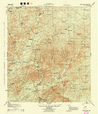
1944 · Indian Creek
USGS Topo · 1:62,500
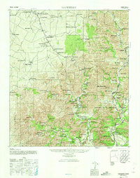
1947 · Hackberry
USGS Topo · 1:62,500

1954 · Sonora
USGS Topo · 1:250,000

1958 · Sonora
USGS Topo · 1:250,000
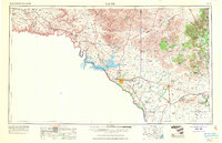
1958 · Del Rio
USGS Topo · 1:250,000
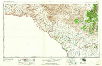
1964 · Del Rio
USGS Topo · 1:250,000
1971 · Ray Lake SE
USGS Topo · 1:24,000