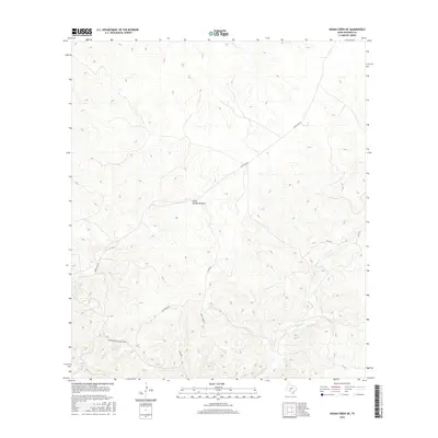
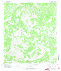
2016 Map of Indian Creek NE
USGS Topo · Published 2016About this map
Possum Spring and the drainage of Possum Cr define the southwestern corner of this Edwards County landscape, where the high Edwards Plateau meets a complex network of seasonal draws. The terrain is dominated by deep limestone canyons and ridges, etched by ephemeral watercourses like Little Hackberry Draw and Indian Cr. Modern access and land division are evident through thoroughfares such as Ranch Rd 674 and Hwy 377, while more localized naming conventions appear on tracks like Hog Heaven Rd and Deer Cabins Rd.
Find a feature on this map
12 named features on this map. Tap any name to fly to it.
Don’t see what you’re looking for? This feature index may not catch every label — zoom into the map to look around manually.
Map Details
Editions of this 2016 Indian Creek NE Map
This is the sole edition of this map. No revisions or reprints were ever made.
Other maps of this area
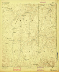
1893 · Rock Springs
USGS Topo · 1:125,000
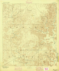
1893 · Nueces
USGS Topo · 1:125,000
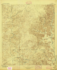
1896 · Nueces
USGS Topo · 1:125,000
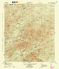
1944 · Indian Creek
USGS Topo · 1:62,500
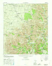
1947 · Hackberry
USGS Topo · 1:62,500

1954 · Sonora
USGS Topo · 1:250,000

1958 · Sonora
USGS Topo · 1:250,000
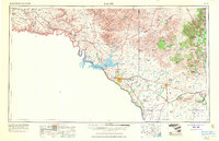
1958 · Del Rio
USGS Topo · 1:250,000
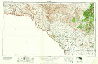
1964 · Del Rio
USGS Topo · 1:250,000
1971 · Ray Lake SE
USGS Topo · 1:24,000