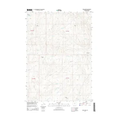
2015 Map of Indian Creek
USGS Topo · Published 2015About this map
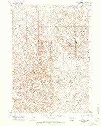
Little Cedar Ridge dominates the northwestern horizon of this high-plains landscape in Washakie County, Wyoming. The map reveals an intricate network of water management essential for ranching and survival in this arid environment, evidenced by named catchments like Little Cedar Reservoir, Big Trails Reservoir, and Blue Bottle Reservoir. The drainage patterns are defined by numerous draws and creeks, including Blue Bank Draw, Horton Draw, and the seasonal flow of Indian Cr.
Find a feature on this map
24 named features on this map. Tap any name to fly to it.
Don’t see what you’re looking for? This feature index may not catch every label — zoom into the map to look around manually.
Map Details
Editions of this 2015 Indian Creek Map
This is the sole edition of this map. No revisions or reprints were ever made.
Other maps of this area

1955 · Arminto
USGS Topo · 1:250,000

1958 · Arminto
USGS Topo · 1:250,000
1962 · Arminto
USGS Topo · 1:250,000
1966 · Big Trails
USGS Topo · 1:24,000
1966 · Big Trails NE
USGS Topo · 1:24,000
1966 · Deadline Draw
USGS Topo · 1:24,000
1966 · Indian Creek
USGS Topo · 1:24,000
1966 · Sand Point
USGS Topo · 1:24,000
1966 · Joe Emge Creek
USGS Topo · 1:24,000
1966 · Castle Gardens
USGS Topo · 1:24,000