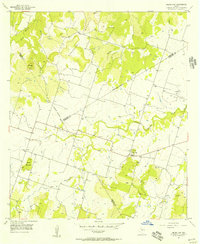
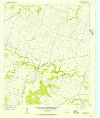
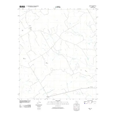
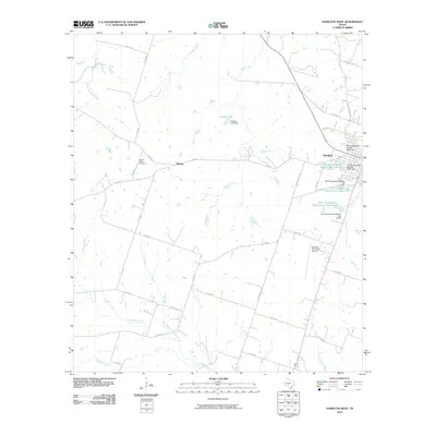
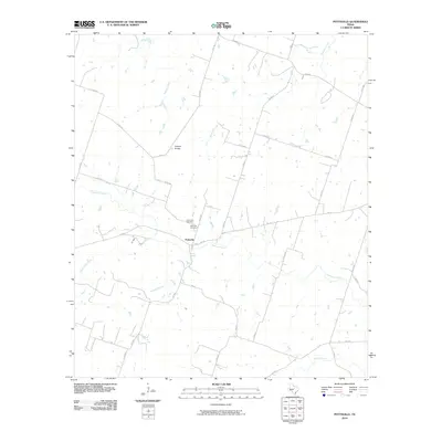
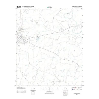
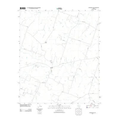
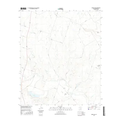
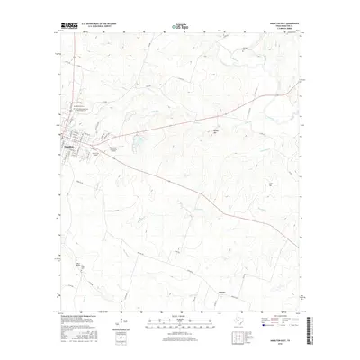
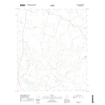
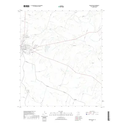
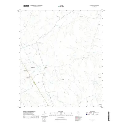
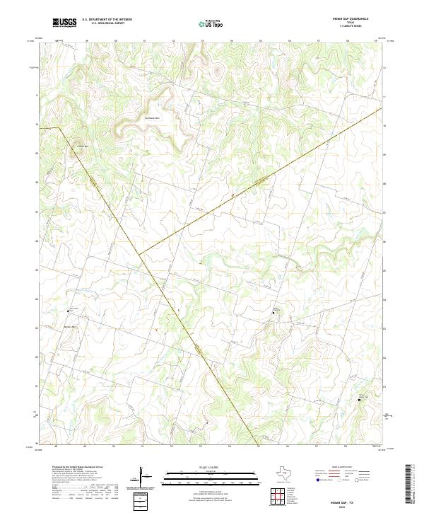
1956 Map of Indian Gap
USGS Topo · Published 1957About this map
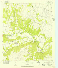
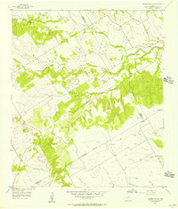
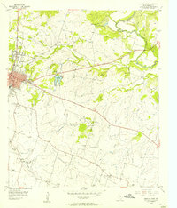
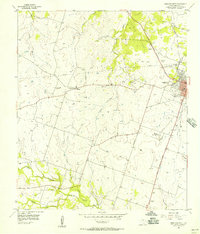
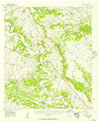
Indian Gap sits at the center of this 1950s rural landscape, where the borders of Comanche, Mills, and Hamilton counties converge. The terrain is defined by the winding course of Cowhouse Creek and several prominent rises, including Cowhouse Mountain, Schoen Mtn, and Becker Mountain. This era shows a transition in land use, as traditional ranching and farming exist alongside the Pottsville Gas Field in the northeast and scattered Caliche Pits. Local genealogy is well-preserved through family-named landmarks and resting places such as the Spivey-Baxter Cemetery, St Johns Cem, and the burial site at Graves. The presence of the Land School and the curious label for a Marked Tree suggest a community oriented around established landmarks and small country school districts before the consolidation of the mid-20th century.
Find a feature on this map
28 named features on this map. Tap any name to fly to it.
Don’t see what you’re looking for? This feature index may not catch every label — zoom into the map to look around manually.
Map Details
Editions of this 1956 Indian Gap Map
This is the sole edition of this map. No revisions or reprints were ever made.
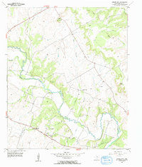
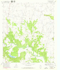
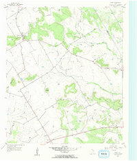
Historical Maps of Indian Gap Through Time
74 maps found
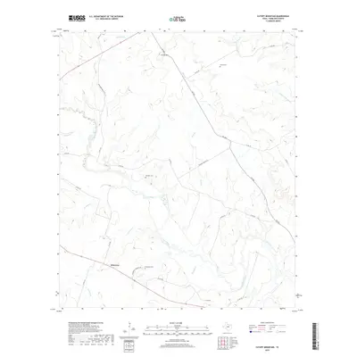
1956 Cutoff Mtn
Hamilton County, TX
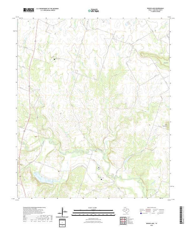
1956 Eidson Lake
Hamilton County, TX
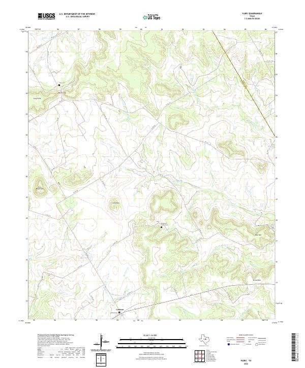
1956 Fairy
Hamilton County, TX
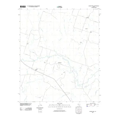
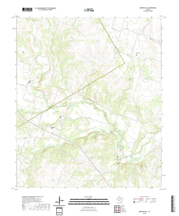
1956 Gentrys Mill
Hamilton County, TX
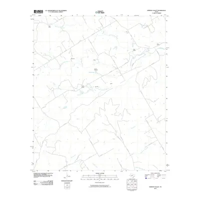
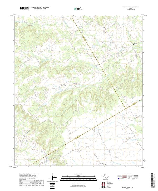
1956 German Valley
Hamilton County, TX
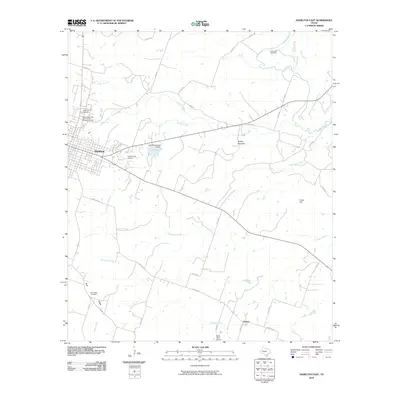
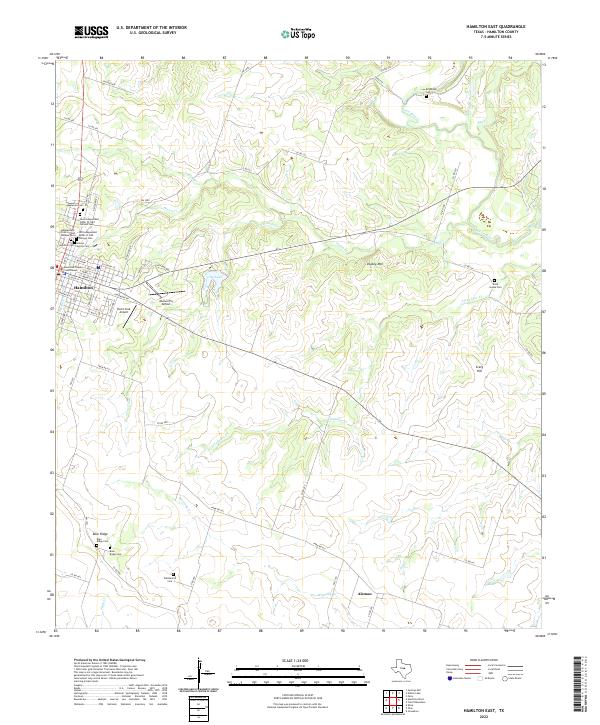
1956 Hamilton East
Hamilton County, TX
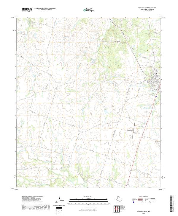
1956 Hamilton West
Hamilton County, TX
1956 Indian Gap
Hamilton County, TX
1956 Jonesboro
Hamilton County, TX
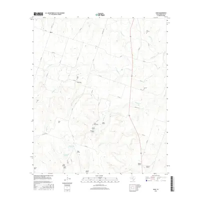
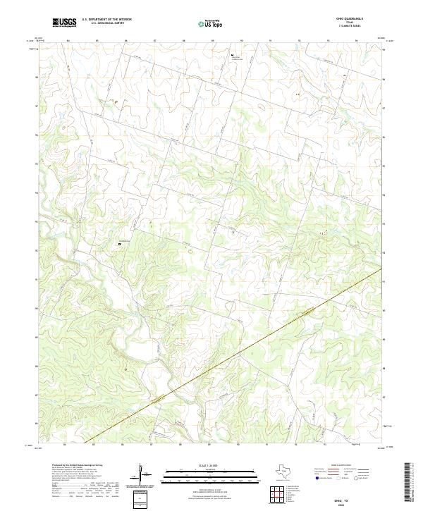
1956 Ohio
Hamilton County, TX
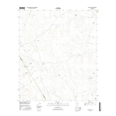
1956 Pecan Wells
Hamilton County, TX
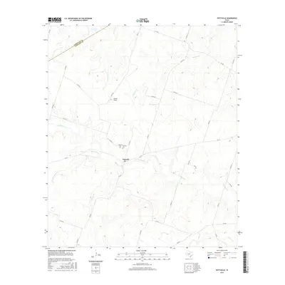
1956 Pottsville
Hamilton County, TX
1956 Pottsville
Hamilton County, TX
1956 Shive
Hamilton County, TX
2010 Cutoff Mountain
Hamilton County, TX
2010 Eidson Lake
Hamilton County, TX
2010 Fairy
Hamilton County, TX
2010 Gentrys Mill
Hamilton County, TX
2010 German Valley
Hamilton County, TX
2010 Hamilton East
Hamilton County, TX
2010 Hamilton West
Hamilton County, TX
2010 Indian Gap
Hamilton County, TX
2010 Ohio
Hamilton County, TX
2010 Pecan Wells
Hamilton County, TX
2010 Pottsville
Hamilton County, TX

2010 Shive
Hamilton County, TX
2012 Cutoff Mountain
Hamilton County, TX

2012 Fairy
Hamilton County, TX
2012 Gentrys Mill
Hamilton County, TX
2012 German Valley
Hamilton County, TX
2012 Hamilton East
Hamilton County, TX
2012 Hamilton West
Hamilton County, TX

2012 Indian Gap
Hamilton County, TX
2012 Ohio
Hamilton County, TX
2012 Pecan Wells
Hamilton County, TX
2012 Pottsville
Hamilton County, TX
2012 Shive
Hamilton County, TX
2013 Eidson Lake
Hamilton County, TX
2016 Cutoff Mountain
Hamilton County, TX
2016 Eidson Lake
Hamilton County, TX
2016 Fairy
Hamilton County, TX
2016 Gentrys Mill
Hamilton County, TX
2016 German Valley
Hamilton County, TX
2016 Hamilton East
Hamilton County, TX
2016 Hamilton West
Hamilton County, TX
2016 Indian Gap
Hamilton County, TX
2016 Ohio
Hamilton County, TX
2016 Pecan Wells
Hamilton County, TX
2016 Pottsville
Hamilton County, TX
2016 Shive
Hamilton County, TX
2019 Cutoff Mountain
Hamilton County, TX
2019 Eidson Lake
Hamilton County, TX
2019 Fairy
Hamilton County, TX
2019 Gentrys Mill
Hamilton County, TX
2019 German Valley
Hamilton County, TX
2019 Hamilton East
Hamilton County, TX
2019 Hamilton West
Hamilton County, TX
2019 Indian Gap
Hamilton County, TX
2019 Ohio
Hamilton County, TX
2019 Pecan Wells
Hamilton County, TX
2019 Pottsville
Hamilton County, TX
2019 Shive
Hamilton County, TX
2022 Cutoff Mountain
Hamilton County, TX
2022 Eidson Lake
Hamilton County, TX
2022 Fairy
Hamilton County, TX
2022 Gentrys Mill
Hamilton County, TX
2022 German Valley
Hamilton County, TX
2022 Hamilton East
Hamilton County, TX
2022 Hamilton West
Hamilton County, TX
2022 Indian Gap
Hamilton County, TX
2022 Ohio
Hamilton County, TX
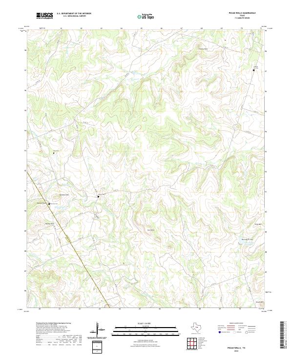
2022 Pecan Wells
Hamilton County, TX
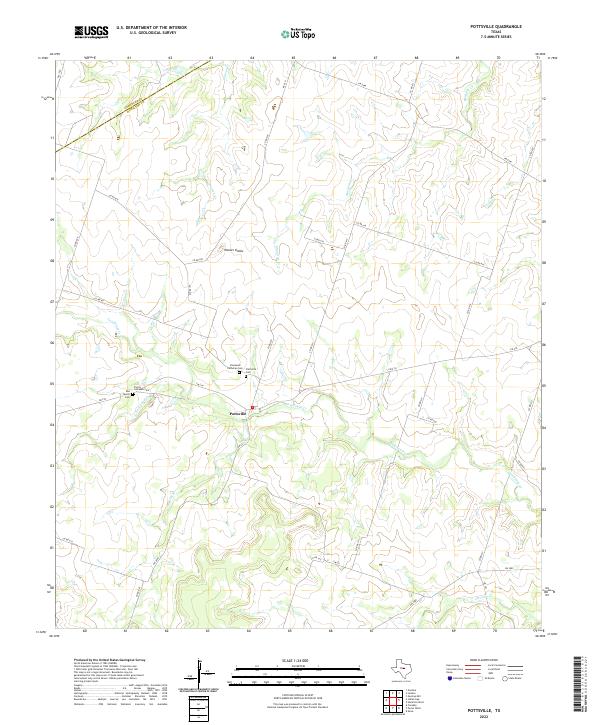
2022 Pottsville
Hamilton County, TX
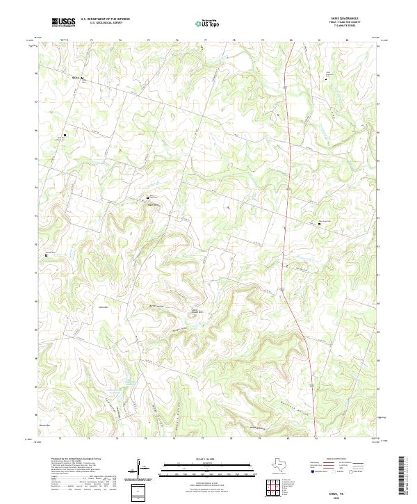
2022 Shive
Hamilton County, TX