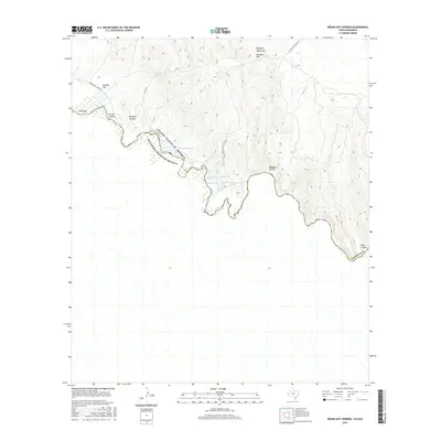
2016 Map of Indian Hot Springs
USGS Topo · Published 2016About this map
Indian Hot Springs and the winding course of the Rio Grande define this arid borderland between Texas and Mexico. The landscape is punctuated by a rare concentration of geothermal features and natural water sources, including Soda Spring, Beauty Spring, and Chief Springs, which congregate near the riverbank at the base of the Quitman Mountains. This area in Hudspeth County shows the convergence of complex topography and vital water resources, where Indian Hot Spring Rd serves as the primary artery through the desert floor.
Find a feature on this map
22 named features on this map. Tap any name to fly to it.
Don’t see what you’re looking for? This feature index may not catch every label — zoom into the map to look around manually.
Map Details
Editions of this 2016 Indian Hot Springs Map
This is the sole edition of this map. No revisions or reprints were ever made.
Other maps of this area
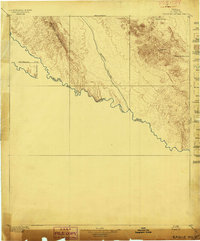
1897 · Eagle Mountain
USGS Topo · 1:125,000
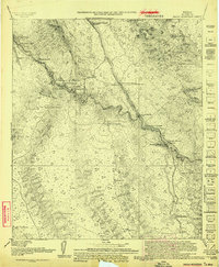
1916 · Eagle Mountain
USGS Topo · 1:125,000
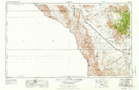
1959 · Marfa
USGS Topo · 1:250,000
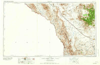
1965 · Marfa
USGS Topo · 1:250,000
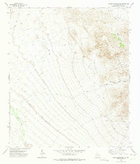
1972 · Eagle Mountains NW
USGS Topo · 1:24,000
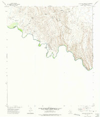
1972 · Indian Hot Springs
USGS Topo · 1:24,000
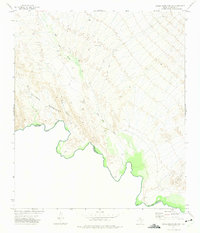
1972 · Eagle Mountains SW
USGS Topo · 1:24,000
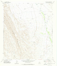
1972 · Cedar Arroyo
USGS Topo · 1:24,000
1984 · Indian Hot Springs
USGS Topo · 1:100,000
1993 · Indian Hot Springs
USGS Topo · 1:100,000