
Loading...
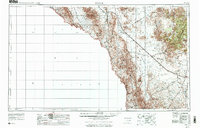
Loading map...1959 Map of Marfa
USGS Topo · Published 1976About this map
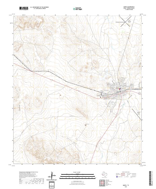
High desert elevations and the serpentine course of the Rio Grande define this Trans-Pecos landscape during the late 1950s and mid-1970s. The Southern Pacific railroad serves as the primary corridor for commerce and travel, connecting the small desert community of Valentine with the ranching hub of Marfa. High above the plains, the Davis Mountains dominate the eastern view, featuring peaks like Mount Livermore and the scientific outpost at McDonald Observatory on Mount Locke.
Find a feature on this map
47 named features on this map. Tap any name to fly to it.
Don’t see what you’re looking for? This feature index may not catch every label — zoom into the map to look around manually.
Map Details
Date Portrayed1959
Date Published1976
PublisherU.S. Geological Survey
Map TypeTopographic
Scale1:250,000
Physical Dimensions34.3 x 22 inches
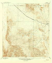
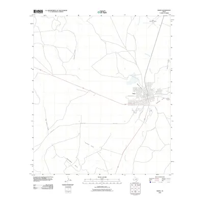
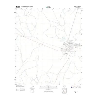
Editions of this 1959 Marfa Map
2 editions found
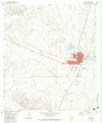
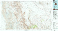
Historical Maps of Marfa Through Time
10 maps found


Featured Locations
Source Details
SourceU.S. Geological Survey
CopyrightPublic Domain