
1896 Map of Ruidosa
USGS Topo · Published 1896About this map
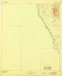
The high desert landscape of Chinati Mountains dominates the eastern edge of this late nineteenth-century survey, descending into the river valley where the Rio Grande defines the international Boundary Line. This specific stretch of the Big Bend region shows a sparsely settled borderlands environment where life centered on the water and rare canyon passes. Small outposts such as Ruidosa and Roderigo are situated along the riverbank, while further south, Indio and Borracho mark the lower reaches near Spencer's Ranch. The topography reveals a network of deep incisions into the range, most notably Pinto Canyon and San Antonio Canyon, which served as the primary routes between the river and the interior highlands of Presidio County.
Find a feature on this map
14 named features on this map. Tap any name to fly to it.
Don’t see what you’re looking for? This feature index may not catch every label — zoom into the map to look around manually.
Map Details
Editions of this 1896 Ruidosa Map
4 editions found
Other maps of this area

1895 · Marfa
USGS Topo · 1:125,000

1896 · Polvo
USGS Topo · 1:125,000

1896 · San Carlos
USGS Topo · 1:125,000

1896 · Shafter
USGS Topo · 1:125,000

1959 · Presidio
USGS Topo · 1:250,000

1959 · Marfa
USGS Topo · 1:250,000

1965 · Presidio
USGS Topo · 1:250,000

1965 · Marfa
USGS Topo · 1:250,000

1966 · Adobes
USGS Topo · 1:24,000

1978 · Sierra Parda
USGS Topo · 1:24,000