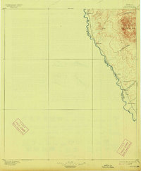
1896 Map of Ruidosa
USGS Topo · Published 1914About this map
The Rio Grande carves a sharp boundary between the United States and Mexico in this late 19th-century survey of the Big Bend region. Along the river's winding course, small settlements and outposts such as Ruidosa, Roderigo, and Spencer's Ranch mark the limited human footprint in a landscape dominated by the high peaks of the Chinati Mountains. The map illustrates the topographical challenges of the era, with deep drainage systems like Pinto Canyon and San Antonio Canyon cutting through the highlands toward the river valley.
Find a feature on this map
14 named features on this map. Tap any name to fly to it.
Don’t see what you’re looking for? This feature index may not catch every label — zoom into the map to look around manually.
Map Details
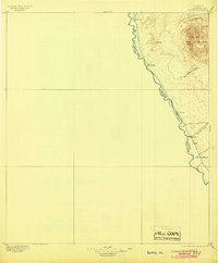
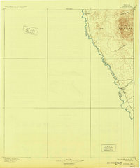
Editions of this 1896 Ruidosa Map
4 editions found
Other maps of this area

1895 · Marfa
USGS Topo · 1:125,000

1896 · Ruidosa
USGS Topo · 1:125,000

1896 · Polvo
USGS Topo · 1:125,000

1896 · San Carlos
USGS Topo · 1:125,000

1896 · Shafter
USGS Topo · 1:125,000

1959 · Presidio
USGS Topo · 1:250,000

1959 · Marfa
USGS Topo · 1:250,000

1965 · Presidio
USGS Topo · 1:250,000

1965 · Marfa
USGS Topo · 1:250,000

1966 · Adobes
USGS Topo · 1:24,000