
Loading...
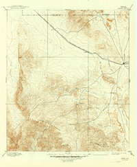
Loading map...1965 Map of Marfa
USGS Topo · Published 1965About this map
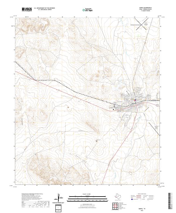
The Rio Grande serves as the international boundary on this mid-century survey, defining the southwestern edge of the Texas Trans-Pecos. The landscape is dominated by the high peaks of the Davis Mountains, including Mount Locke and Mount Livermore. Below these summits, the Texas and New Orleans railroad corridor dictates the placement of towns and sidings, including Valentine and Marfa.
Find a feature on this map
65 named features on this map. Tap any name to fly to it.
Don’t see what you’re looking for? This feature index may not catch every label — zoom into the map to look around manually.
Map Details
Date Portrayed1965
Date Published1965
PublisherU.S. Geological Survey
Map TypeTopographic
Scale1:250,000
Physical Dimensions33.5 x 21.9 inches
Editions of this 1965 Marfa Map
This is the sole edition of this map. No revisions or reprints were ever made.
Historical Maps of Marfa Through Time
10 maps found

Featured Locations
Source Details
SourceU.S. Geological Survey
CopyrightPublic Domain