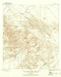
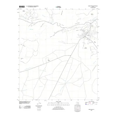
1894 Map of Fort Davis
USGS Topo · Published 1961About this map
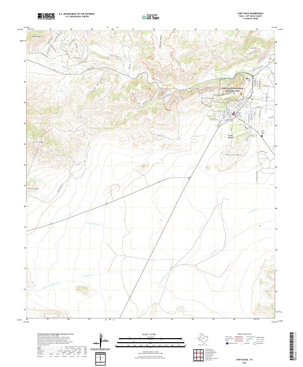
Fort Davis sits at the foot of the southern peaks in this 1894 survey, anchoring a landscape defined by an extensive network of family-run operations. The map documents the distribution of remote outposts such as San Augustine Ranch, Mc Cutchins Ranch, and Pruetts Ranch, illustrating how early settlement in this part of West Texas was dictated by the proximity to vital water sources like Phantom Lake, Seven Springs, and Limpia Canyon.
Find a feature on this map
44 named features on this map. Tap any name to fly to it.
Don’t see what you’re looking for? This feature index may not catch every label — zoom into the map to look around manually.
Map Details
Editions of this 1894 Fort Davis Map
This is the sole edition of this map. No revisions or reprints were ever made.
Historical Maps of Fort Davis Through Time
9 maps found
1894 Fort Davis
Jeff Davis County, TX
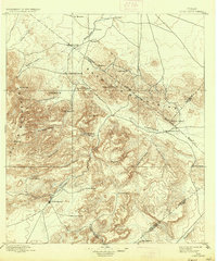
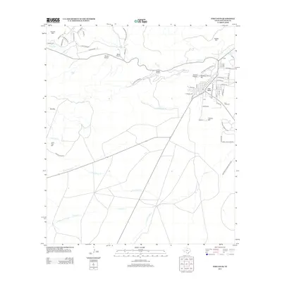
1897 Fort Davis
Jeff Davis County, TX
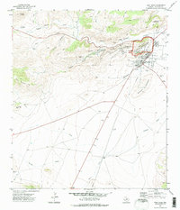
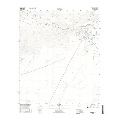
1972 Fort Davis
Jeff Davis County, TX
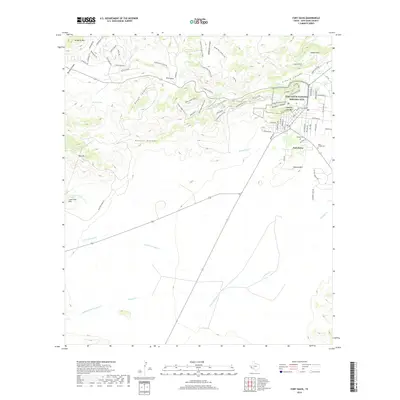
1985 Fort Davis
Jeff Davis County, TX
2010 Fort Davis
Jeff Davis County, TX
2012 Fort Davis
Jeff Davis County, TX
2016 Fort Davis
Jeff Davis County, TX
2019 Fort Davis
Jeff Davis County, TX
2022 Fort Davis
Jeff Davis County, TX