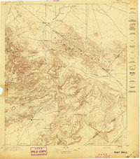
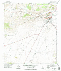
1897 Map of Fort Davis
USGS Topo · Published 1897About this map
Fort Davis serves as the focal point of this late 19th-century survey, anchoring a landscape where West Texas ranching culture and high-desert topography meet. The map reveals a network of family-named holdings like Harts Ranch, Wards Ranch, and Pruetts Ranch scattered among the steep drainages of the Davis Mountains and Barrilla Mountains. These early settlements were deeply dependent on scarce water sources, as shown by the proximity of Toyahvale to the upper reaches of Toyah Creek and the presence of Phantom Lake to the northwest.
Find a feature on this map
43 named features on this map. Tap any name to fly to it.
Don’t see what you’re looking for? This feature index may not catch every label — zoom into the map to look around manually.
Map Details
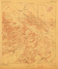
Editions of this 1897 Fort Davis Map
3 editions found
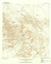
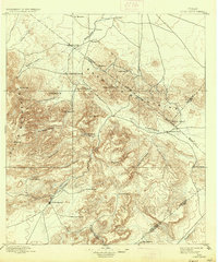
Historical Maps of Fort Davis Through Time
9 maps found
1894 Fort Davis
Jeff Davis County, TX
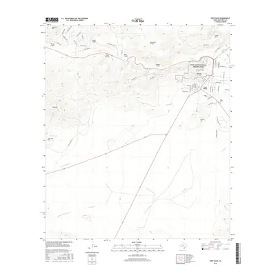
1897 Fort Davis
Jeff Davis County, TX
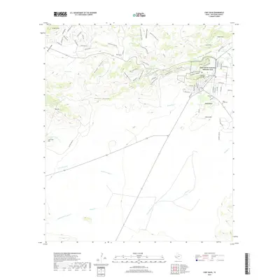
1972 Fort Davis
Jeff Davis County, TX
1985 Fort Davis
Jeff Davis County, TX
2010 Fort Davis
Jeff Davis County, TX
2012 Fort Davis
Jeff Davis County, TX
2016 Fort Davis
Jeff Davis County, TX
2019 Fort Davis
Jeff Davis County, TX
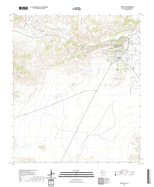
2022 Fort Davis
Jeff Davis County, TX