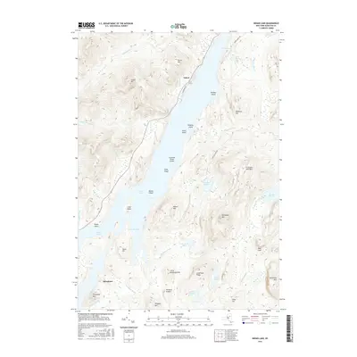
2016 Map of Indian Lake
USGS Topo · Published 2016About this map
Sabael and Speculator anchor this portion of the Adirondacks, where the landscape is defined by the expansive waters of Indian Lake and its numerous islands. The narrow waterway of The Narrows connects the northern and southern reaches of the lake, passing by Kirpens Island and the slopes of Baldface Mtn. To the west, the terrain rises sharply toward Squaw Mtn and Porter Mtn, dissected by the drainages of Squaw Brook and Griffin Brook.
Find a feature on this map
50 named features on this map. Tap any name to fly to it.
Don’t see what you’re looking for? This feature index may not catch every label — zoom into the map to look around manually.
Map Details
Editions of this 2016 Indian Lake Map
This is the sole edition of this map. No revisions or reprints were ever made.
Other maps of this area
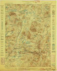
1898 · Newcomb
USGS Topo · 1:62,500
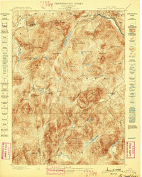
1898 · Thirteenth Lake
USGS Topo · 1:62,500
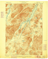
1899 · Indian Lake
USGS Topo · 1:62,500
1901 · Newcomb
USGS Topo · 1:62,500
1902 · Indian Lake
USGS Topo · 1:62,500
1903 · Blue Mountain
USGS Topo · 1:62,500
1950 · Utica
USGS Topo · 1:250,000
1954 · Newcomb
USGS Topo · 1:62,500
1954 · Thirteenth Lake
USGS Topo · 1:62,500
1954 · Blue Mountain
USGS Topo · 1:62,500