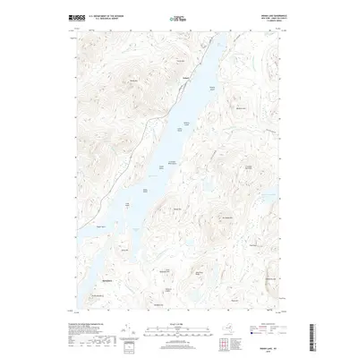
2019 Map of Indian Lake
USGS Topo · Published 2019About this map
Indian Lake dominates this central Adirondack landscape, its intricate shoreline defined by numerous bays and islands including Moose Island, Kirpens Island, and the sheltered waters of John Mack Bay. The settlement of Sabael sits on the western shore, positioned where Lourence Brook enters the lake, while the southern reaches of the map show the outskirts of Speculator near the base of Driftwood Mtn. High peaks and ridges surround the water, with notable summits like Kunjamuk Mtn and Crotched Pond Mtn providing significant vertical relief. The network of drainage is dense, featuring named watercourses such as Squaw Brook, Wakely Brook, and Woodland Brook that feed into the larger lake system. This terrain reflects a classic high-country wilderness character, where human settlement is concentrated along narrow road corridors like Lakeshore Dr and Sabael Rd.
Find a feature on this map
46 named features on this map. Tap any name to fly to it.
Don’t see what you’re looking for? This feature index may not catch every label — zoom into the map to look around manually.
Map Details
Editions of this 2019 Indian Lake Map
This is the sole edition of this map. No revisions or reprints were ever made.
Other maps of this area
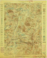
1898 · Newcomb
USGS Topo · 1:62,500
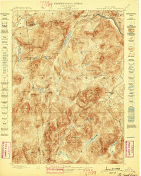
1898 · Thirteenth Lake
USGS Topo · 1:62,500
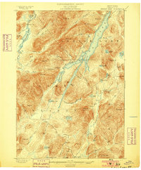
1899 · Indian Lake
USGS Topo · 1:62,500
1901 · Newcomb
USGS Topo · 1:62,500
1902 · Indian Lake
USGS Topo · 1:62,500
1903 · Blue Mountain
USGS Topo · 1:62,500
1950 · Utica
USGS Topo · 1:250,000
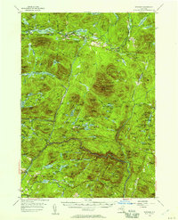
1954 · Newcomb
USGS Topo · 1:62,500
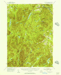
1954 · Thirteenth Lake
USGS Topo · 1:62,500
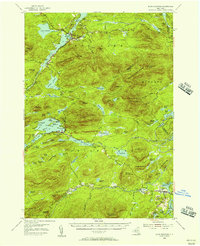
1954 · Blue Mountain
USGS Topo · 1:62,500