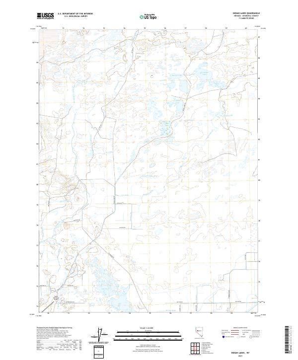
2021 Map of Indian Lakes
USGS Topo · Published 2021About this map
The Carson River and its intricate network of irrigation infrastructure define this landscape north of Fallon. This 2021 survey documents the complex water management systems of Churchill County, including the D Line Canal, Vencill Drain, and Mussi Drain. These man-made channels facilitate agricultural activity across the high desert, feeding into a series of shallow basins known collectively as the Indian Lakes. The map highlights several distinct bodies of water such as Big Indian Lake, Papoose Lake, and Likes Lake, which provide a sharp contrast to the surrounding arid terrain.
Find a feature on this map
42 named features on this map. Tap any name to fly to it.
Don’t see what you’re looking for? This feature index may not catch every label — zoom into the map to look around manually.
Map Details
Editions of this 2021 Indian Lakes Map
This is the sole edition of this map. No revisions or reprints were ever made.
Other maps of this area

1908 · Carson Sink
USGS Topo · 1:250,000

1910 · Carson Sink
USGS Topo · 1:250,000

1950 · Stillwater
USGS Topo · 1:62,500

1951 · Carson Lake
USGS Topo · 1:62,500

1951 · Soda Lake
USGS Topo · 1:62,500

1951 · Fallon
USGS Topo · 1:62,500

1957 · Reno
USGS Topo · 1:250,000

1959 · Reno
USGS Topo · 1:250,000

1960 · Reno
USGS Topo · 1:250,000

1979 · Carson Sink
USGS Topo · 1:100,000